


Gallery
_1825811899_700.jpg)


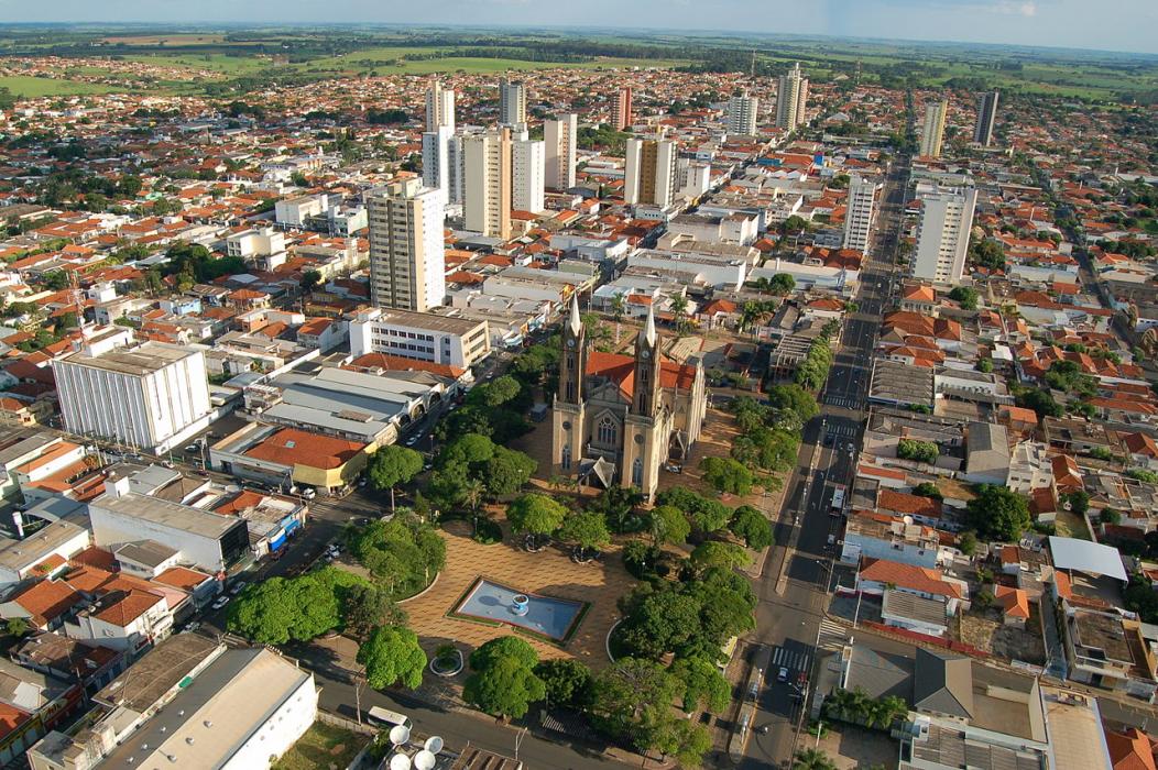
Map and nearest places
| Longitude | Latitude |
|---|---|
| -20.4172222222222 | -49.97277777777779 |
| 20°25'0"S | 49°58'0"W |
| Nearest places | ||
|---|---|---|
| Votuporanga Airport | 6.1km | |
| Sao Jose do Rio Preto Airport | 73.8km | |
 | Sao Jose do Rio Preto | 76.3km |
| Aracatuba Airport | 93.2km | |
 | Aracatuba | 100.2km |
| Penapolis Airport | 110.6km | |
 | Penapolis | 112.0km |
| Lins Airport | 140.9km | |
 | Lins | 142.3km |
| Chafei Amsel Airport | 144.8km | |
 | Barretos | 146.7km |
 | Paranaíba | 151.5km |
| John Paul II International Airport | 10,386.5km | |
| Minami Daito Jima Airport | 19,398.3km | |
Airports
Weblinks
Comments
You need to log in to add comment