


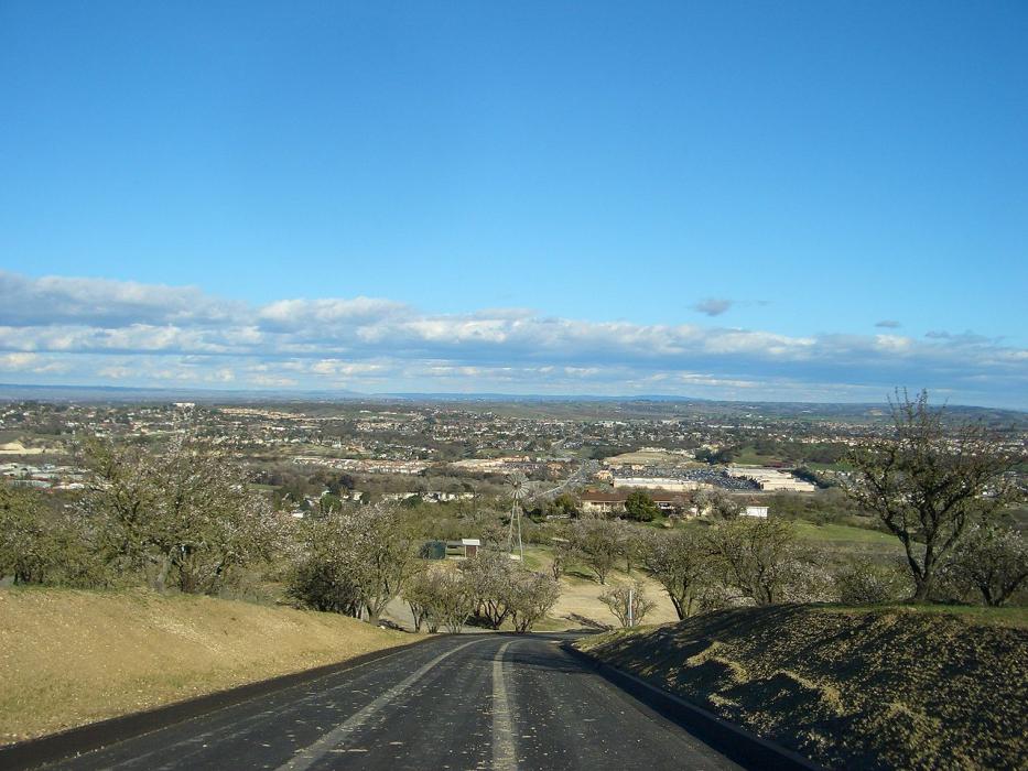
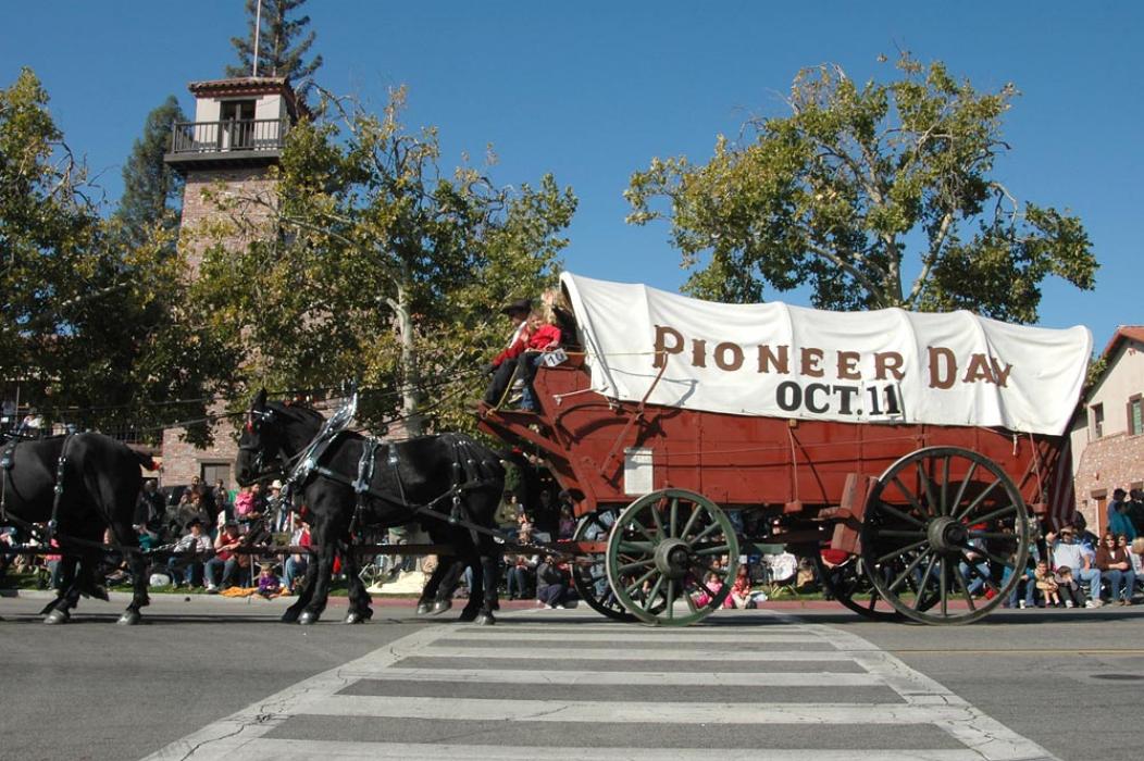
Gallery


Map and nearest places
| Longitude | Latitude |
|---|---|
| 35.63 | -120.66 |
| 35°37'0"N | 120°39'0"W |
| Nearest places | ||
|---|---|---|
| Paso Robles Municipal Airport | 5.6km | |
| Templeton | 9.6km | |
 | Atascadero | 16.3km |
| Cayucos | 30.0km | |
| Morro Bay | 32.9km | |
| Cambria | 39.6km | |
 | San Louis Obisop | 39.6km |
| San Luis Obispo County Regional Airport | 43.7km | |
| Oceano County Airport | 58.9km | |
| Mesa Del Rey Airport | 78.4km | |
| Santa Maria Public Airport | 83.3km | |
| Hanford Municipal Airport | 120.2km | |
| John Paul II International Airport | 9,723.3km | |
| Pierrefonds Airport | 18,378.9km | |
Accomodation
Golfs club
Wineries
Spirits Distillery
Airports
Weblinks
Comments
You need to log in to add comment