


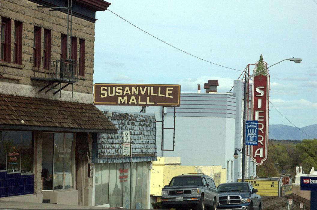
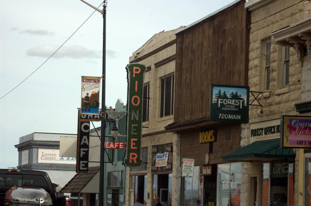
Gallery


Map and nearest places
| Longitude | Latitude |
|---|---|
| 40.4163888888889 | -120.653055555556 |
| 40°24'0"N | 120°39'0"W |
| Nearest places | ||
|---|---|---|
| Susanville Municipal Airport | 8.2km | |
| Ravendale | 49.0km | |
| Ravendale Airport | 49.4km | |
| Herlong Airport | 50.6km | |
| Herlong | 53.4km | |
| Fall River Mills | 93.3km | |
| Fall River Mills Airport | 93.9km | |
| Reno Stead Airport | 106.4km | |
| California Pines Airport | 110.8km | |
| Alturas | 119.4km | |
| Reno | 121.7km | |
| Sparks | 123.7km | |
| John Paul II International Airport | 9,237.7km | |
| Tolagnaro Airport | 17,954.1km | |
Accomodation
Restaurants
Breweries
Airports
Weblinks
Comments
You need to log in to add comment