


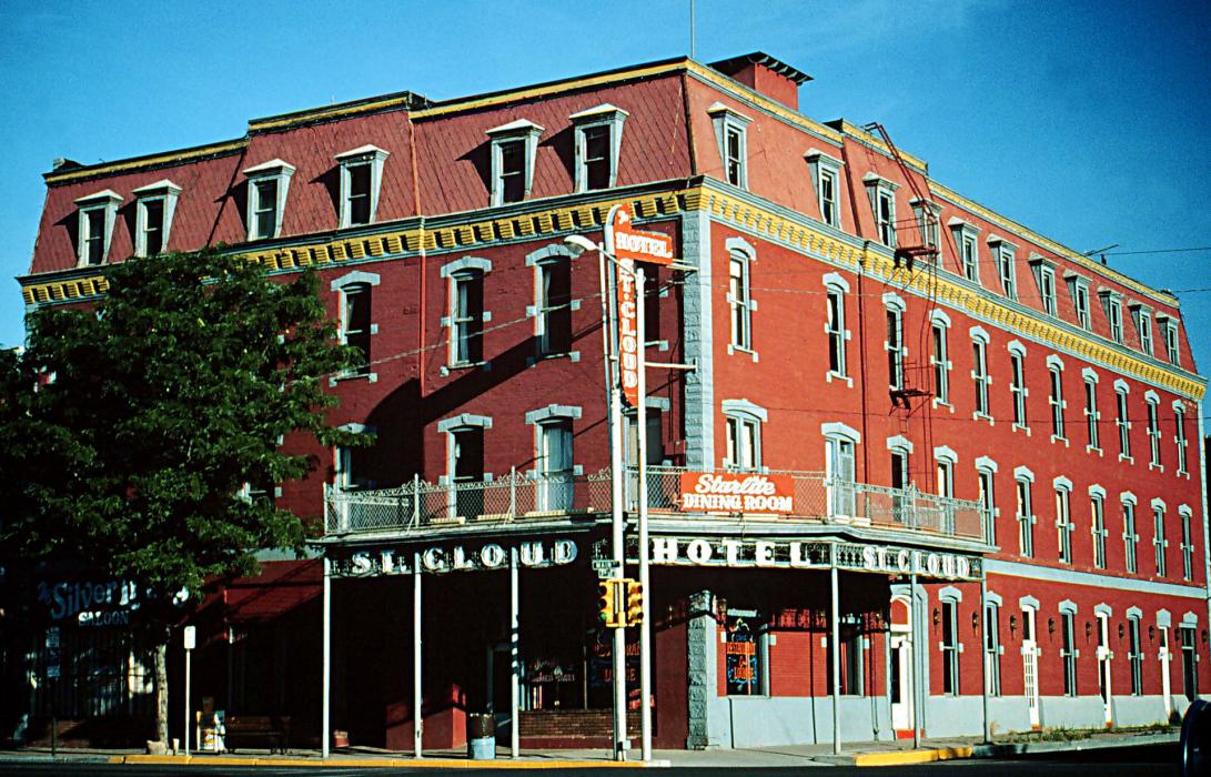
Gallery


Map and nearest places
| Longitude | Latitude |
|---|---|
| 38.446667 | -105.228333 |
| 38°26'0"N | 105°13'0"W |
| Nearest places | ||
|---|---|---|
| Fremont County Airport | 10.9km | |
| Florence | 11.6km | |
| Cripple Creek | 33.5km | |
| Cascade | 54.8km | |
| Pueblo | 56.7km | |
| Colorado Springs | 59.9km | |
| City of Colorado Springs Municipal Airport | 61.0km | |
| Pueblo Memorial Airport | 66.1km | |
| Salida | 67.5km | |
| Harriet Alexander Field Airport | 72.1km | |
| Meadow Lake Airport | 79.7km | |
| Central Colorado Regional Airport | 87.6km | |
| John Paul II International Airport | 8,799.5km | |
| Sir Ga�tan Duval Airport | 17,664.5km | |
Accomodation
Restaurants
Golfs club
Wineries
Breweries
Airports
Weblinks
Comments
On 01-02-2020 19:20 Jerzy said:
There are 101.58 miles from Canon City to Denver International Airport (DEN) in northeast direction and 132 miles (212.43 kilometers) by car, following the CO 115 route. Canon City and DEN Airport are 2 hours 30 mins far apart, if you drive non-stop.
You need to log in to add comment
There are 101.58 miles from Canon City to Denver International Airport (DEN) in northeast direction and 132 miles (212.43 kilometers) by car, following the CO 115 route. Canon City and DEN Airport are 2 hours 30 mins far apart, if you drive non-stop.
You need to log in to add comment