


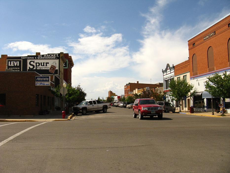
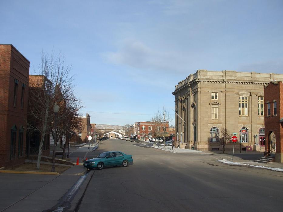
Gallery


Map and nearest places
| Longitude | Latitude |
|---|---|
| 41.263333 | -110.964722 |
| 41°15'0"N | 110°57'0"W |
| Nearest places | ||
|---|---|---|
| Evanston-Uinta County Airport - Burns Field | 6.0km | |
| Fort Bridger | 48.7km | |
| Fort Bridger Airport | 48.7km | |
| Mountain View | 52.5km | |
| Lyman | 56.5km | |
| Kemmerer | 68.1km | |
| Kemmerer Municipal Airport | 71.0km | |
| Park City | 80.8km | |
| Ogden | 83.4km | |
| Cokeville Municipal Airport | 87.0km | |
| Ogden-Hinckley Airport | 87.9km | |
| Skypark Airport | 91.8km | |
| John Paul II International Airport | 8,783.7km | |
| Sir Ga�tan Duval Airport | 17,564.2km | |
Accomodation
Restaurants
Golfs club
Breweries
Airports
Weblinks
Comments
You need to log in to add comment