


Gallery


Map and nearest places
| Longitude | Latitude |
|---|---|
| 33.6191666666667 | -114.716944444444 |
| 33°37'0"N | 114°43'0"W |
| Nearest places | ||
|---|---|---|
| Blythe | 12.4km | |
| Yuma | 103.5km | |
| Lake Havsu City | 103.9km | |
| Chemehuevi Valley Airport | 104.5km | |
| Yuma International Airport | 107.5km | |
| Lake Havasu City Airport | 110.9km | |
| Imperial | 116.8km | |
| Imperial County Airport | 118.5km | |
| Twentynine Palms Airport | 127.0km | |
 | Mexicali | 127.2km |
| Calexico | 127.4km | |
| Needles Airport | 127.9km | |
| John Paul II International Airport | 9,688.6km | |
| Sir Gaëtan Duval Airport | 18,462.1km | |
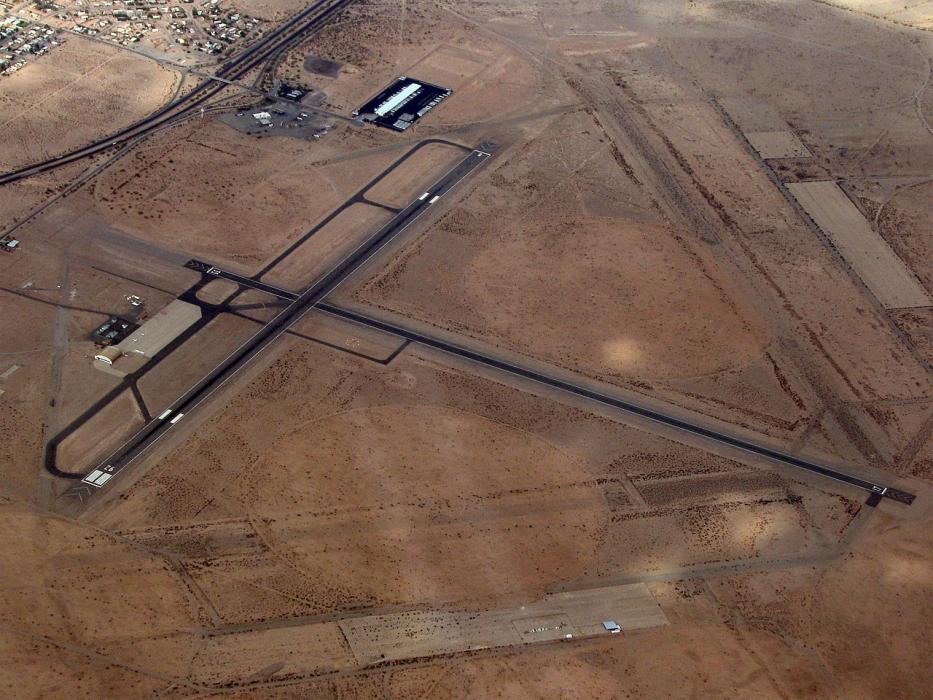
General informations
| Airport type | Local airport |
| ICAO | KBLH |
| IATA | BLH |
| FAA | BLH |
| Elevation | 399 ft / 122 m MSL |
Weblinks
Comments
You need to log in to add comment