


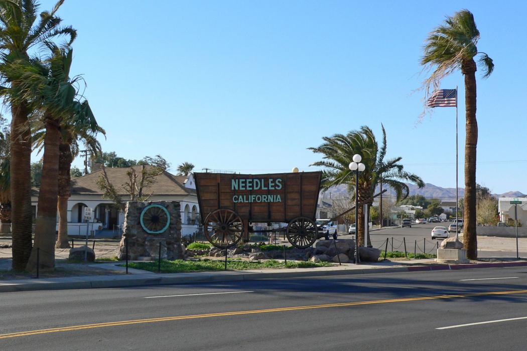
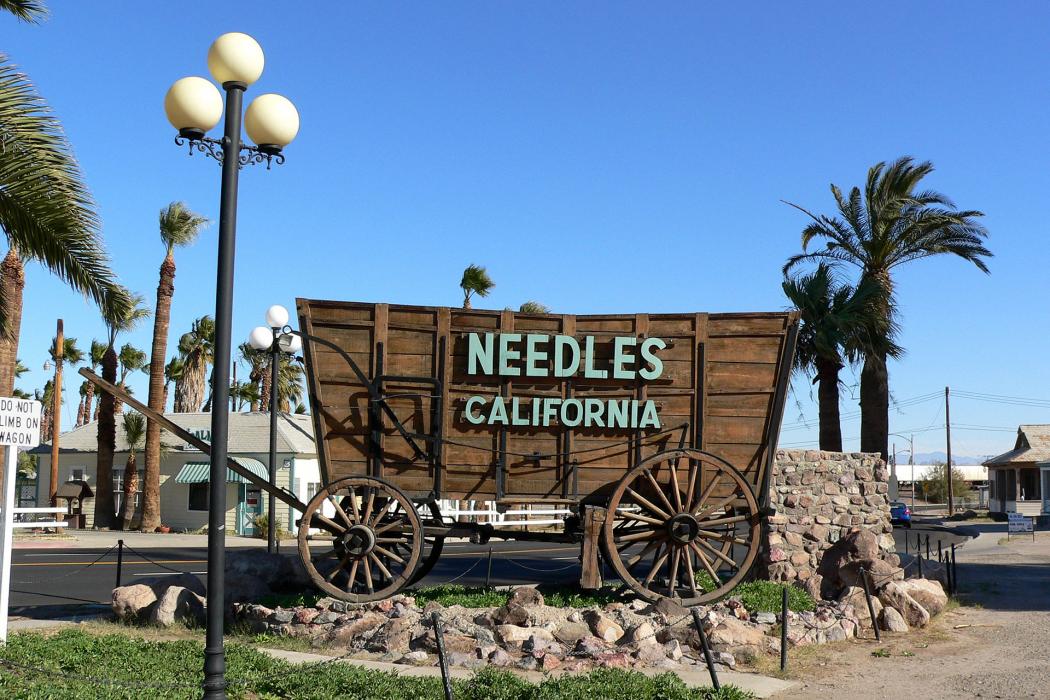
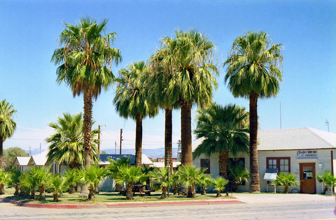
Gallery


Map and nearest places
| Longitude | Latitude |
|---|---|
| 34.838333 | -114.611111 |
| 34°50'0"N | 114°36'0"W |
| Nearest places | ||
|---|---|---|
| Needles Airport | 8.1km | |
 | Bullhead City | 30.9km |
| Laughlin/Bulhead | 33.7km | |
| Laughlin/Bullhead International Airport | 35.8km | |
| Lake Havasu City Airport | 37.6km | |
| Chemehuevi Valley Airport | 38.1km | |
| Lake Havsu City | 47.6km | |
 | Kingman | 67.3km |
| Kingman Airport | 77.1km | |
| Boulder City | 125.0km | |
| Boulder City Municipal Airport | 125.4km | |
| Peach Springs | 132.8km | |
| John Paul II International Airport | 9,563.7km | |
| Sir Gaëtan Duval Airport | 18,326.4km | |
Restaurants
Golfs club
Airports
Weblinks
Comments
You need to log in to add comment