


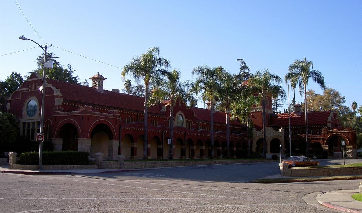
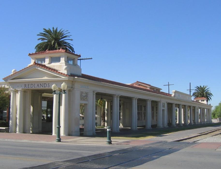
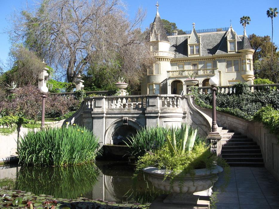


Map and nearest places
| Longitude | Latitude |
|---|---|
| 34.054722 | -117.1825 |
| 34°3'0"N | 117°10'0"W |
| Nearest places | ||
|---|---|---|
| Redlands Municipal Airport | 4.8km | |
| San Bernardino International Airport | 6.6km | |
| San Bernardino | 11.9km | |
| Yucaipa | 13.1km | |
 | Riverside | 23.0km |
| Beaumont | 23.5km | |
| Riverside Municipal Airport | 26.8km | |
| Perris | 29.0km | |
 | Banning | 29.6km |
| Perris Valley Airport | 32.4km | |
| Banning Municipal Airport | 33.9km | |
| Hesperia Airport | 37.9km | |
| John Paul II International Airport | 9,747.4km | |
| Sir Ga�tan Duval Airport | 18,424.4km | |
Accomodation
Restaurants
Spirits Distillery
Airports
Weblinks
Comments
You need to log in to add comment