


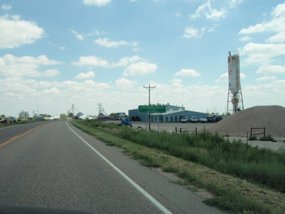
Gallery


Map and nearest places
| Longitude | Latitude |
|---|---|
| 38.8211111111111 | -102.353611111111 |
| 38°49'0"N | 102°21'0"W |
| Nearest places | ||
|---|---|---|
| Cheyenne Wells Municipal Airport | 4.1km | |
| Eads | 53.0km | |
| Eads Municipal Airport | 55.3km | |
| Goodland | 80.7km | |
| Goodland Municipal Airport | 83.2km | |
| Lamar | 84.9km | |
| Holly | 87.5km | |
| Lamar Municipal Airport | 88.5km | |
| Holly Airport | 90.0km | |
| Limon Municipal Airport | 124.0km | |
| Limon | 125.7km | |
| Colby | 129.4km | |
| John Paul II International Airport | 8,628.3km | |
| Sir Gaëtan Duval Airport | 17,490.1km | |
Airports
Weblinks
Comments
On 09-24-2023 19:06 Jerzy said:
There are 154.62 miles from Cheyenne Wells to Denver in northwest direction and 201 miles (323.48 kilometers) by car, following the I-70 W and US-24 W route. Cheyenne Wells and Denver are 3 hours far apart, if you drive non-stop .
You need to log in to add comment
There are 154.62 miles from Cheyenne Wells to Denver in northwest direction and 201 miles (323.48 kilometers) by car, following the I-70 W and US-24 W route. Cheyenne Wells and Denver are 3 hours far apart, if you drive non-stop .
You need to log in to add comment