


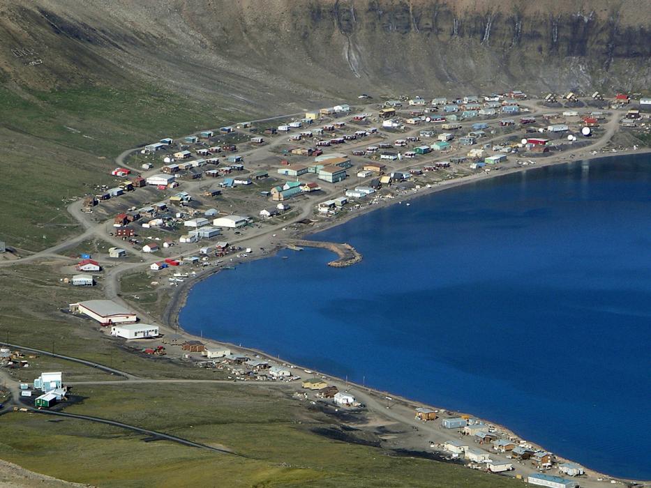
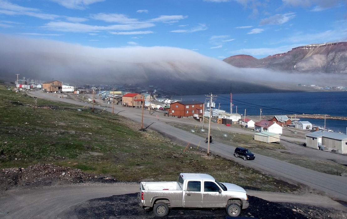
Gallery


Map and nearest places
| Longitude | Latitude |
|---|---|
| 73.036389 | -85.1525 |
| 73°2'0"N | 85°9'0"W |
| Nearest places | ||
|---|---|---|
| Arctic Bay Airport | 4.8km | |
| Nanisivik Airport | 18.5km | |
| Nanisivik | 20.0km | |
| Pond Inlet | 238.4km | |
| Pond Inlet Airport | 238.6km | |
 | Resolute Bay | 350.9km |
| Resolute Bay Airport | 355.5km | |
| Grise Fjord | 381.7km | |
| Grise Fiord Airport | 382.5km | |
| Igloolik | 424.2km | |
| Igloolik Airport | 425.3km | |
| Taloyoak | 489.7km | |
| John Paul II International Airport | 5,197.5km | |
| Hobart International Airport | 15,708.3km | |
Airports

Weblinks
Comments
You need to log in to add comment