


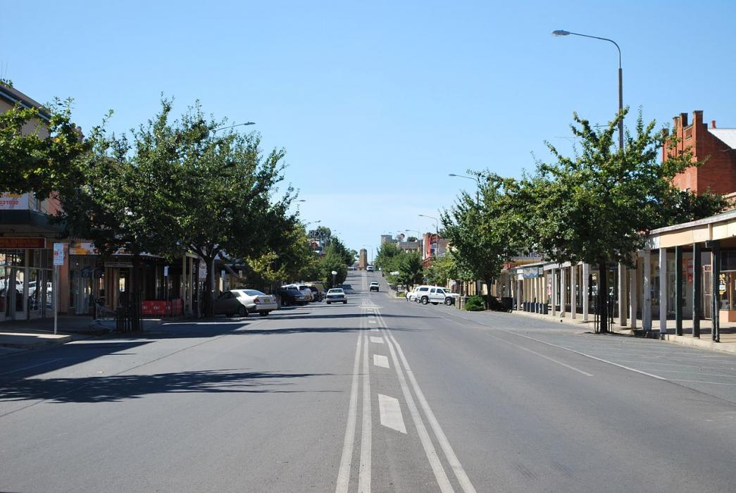


Map and nearest places
| Longitude | Latitude |
|---|---|
| -35.983333 | 146.383333 |
| 35°58'0"S | 146°22'0"E |
| Nearest places | ||
|---|---|---|
| Wahgunyah | 3.0km | |
| Rutherglen | 10.7km | |
| Wangaratta | 43.0km | |
| Wangaratta Airport | 48.6km | |
| Beechworth | 49.9km | |
| Albury | 52.2km | |
| Albury Airport | 52.5km | |
| Myrtleford | 70.8km | |
| Shepparton Airport | 101.8km | |
| Wagga Wagga Airport | 133.7km | |
| Corryong Airport | 137.0km | |
| Narrandera Airport | 142.9km | |
| John Paul II International Airport | 15,509.7km | |
| Flores Airport | 19,571.5km | |
Accomodation
Spirits Distillery
Weblinks
Comments
You need to log in to add comment