


Map and nearest places
| Longitude | Latitude |
|---|---|
| -42.15 | 145.316666666667 |
| 42°8'0"S | 145°19'0"E |
| Nearest places | ||
|---|---|---|
| Queenstown | 21.4km | |
| Railton | 127.4km | |
| Burnie | 129.9km | |
| Deloraine | 130.0km | |
| Burnie Airport | 132.6km | |
| Devonport | 138.7km | |
| Devonport Airport | 143.0km | |
| Westbury | 145.2km | |
| Launceston Airport | 170.9km | |
| Hobart International Airport | 195.4km | |
| King Island Airport | 280.0km | |
| Flinders Island Airport | 320.3km | |
| John Paul II International Airport | 15,822.4km | |
| Corvo Airport | 19,607.8km | |
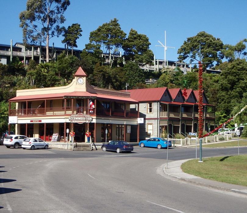
Accomodation

Weblinks
Comments
You need to log in to add comment