


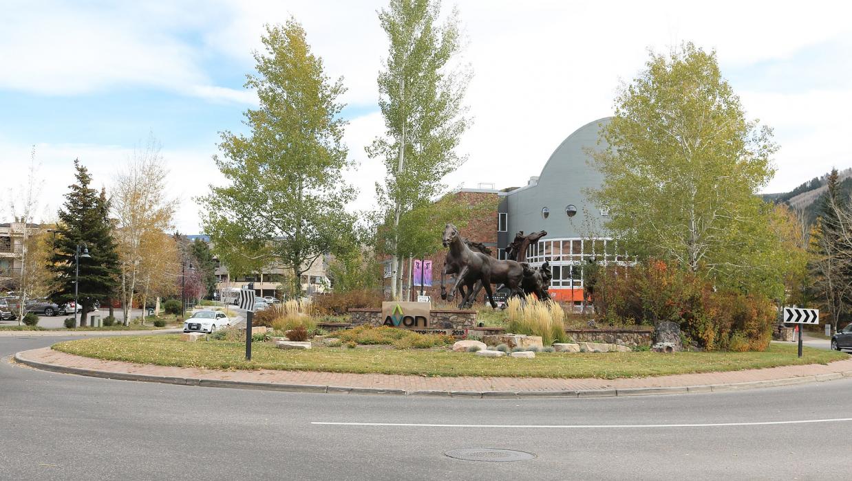
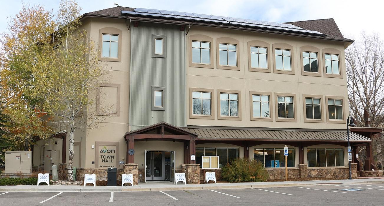
Gallery


Map and nearest places
| Longitude | Latitude |
|---|---|
| 39.641797 | -106.515877 |
| 39°38'0"N | 106°30'0"W |
| Nearest places | ||
|---|---|---|
| Vail | 12.1km | |
| Eagle | 26.7km | |
| Eagle County Regional Airport | 34.4km | |
| Gypsum | 36.3km | |
| Frisco | 36.6km | |
| Silverthorne | 37.6km | |
| Dillon | 40.5km | |
| Mc Elroy Airfield | 47.5km | |
| Lake County Airport | 49.9km | |
| Aspen-Pitkin County Airport | 55.6km | |
| Glenwood Springs Municipal Airport | 69.7km | |
| Granby-Grand County Airport | 71.4km | |
| John Paul II International Airport | 8,746.0km | |
| Sir Ga�tan Duval Airport | 17,601.6km | |
Accomodation
Restaurants
Golfs club
Wineries
Weblinks
Comments
On 01-03-2020 16:42 Jerzy said:
There are 81.78 miles from Avon to Denver in east direction and 106 miles (170.59 kilometers) by car, following the I-70 E route.Avon and Denver are 1 hour 48 mins far apart, if you drive non-stop.
You need to log in to add comment
There are 81.78 miles from Avon to Denver in east direction and 106 miles (170.59 kilometers) by car, following the I-70 E route.Avon and Denver are 1 hour 48 mins far apart, if you drive non-stop.
You need to log in to add comment