


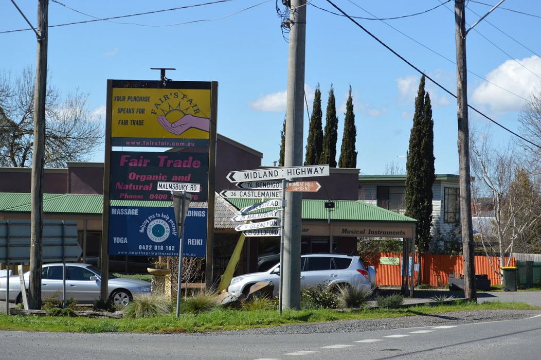


Map and nearest places
| Longitude | Latitude |
|---|---|
| -37.35 | 144.15 |
| 37°21'0"S | 144°9'0"E |
| Nearest places | ||
|---|---|---|
| Ballarat | 34.6km | |
| Ballarat Airport | 36.4km | |
| Alfredton | 38.4km | |
| Lancefield | 51.0km | |
| Bendigo | 67.5km | |
| Bendigo Airport | 69.7km | |
| Melbourne Airport | 70.9km | |
| Essendon Airport | 78.5km | |
| Essendon | 80.5km | |
| Avalon Airport | 81.7km | |
| Avalon | 85.4km | |
| Grovedale Airport | 97.7km | |
| John Paul II International Airport | 15,441.8km | |
| Flores Airport | 19,542.0km | |
Accomodation
Restaurants
Golfs club
Wineries
Breweries
Weblinks
Comments
On 07-29-2021 16:40 Jerzy said:
There are 88.26 km (54.84 miles) from Daylesford to Melbourne in southeast direction and 112.65 km (70 miles) by car, following the M8 route. Daylesford and Melbourne are 1 hour 15 mins far apart, if you drive non-stop .
You need to log in to add comment
There are 88.26 km (54.84 miles) from Daylesford to Melbourne in southeast direction and 112.65 km (70 miles) by car, following the M8 route. Daylesford and Melbourne are 1 hour 15 mins far apart, if you drive non-stop .
You need to log in to add comment