


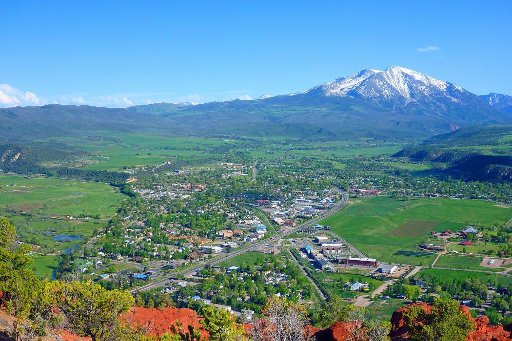
Gallery


Map and nearest places
| Longitude | Latitude |
|---|---|
| 39.394616 | -107.214475 |
| 39°23'0"N | 107°12'0"W |
| Nearest places | ||
|---|---|---|
| Glenwood Springs Municipal Airport | 14.8km | |
| Basalt | 17.3km | |
| Glenwood Springs | 19.4km | |
| Aspen-Pitkin County Airport | 35.3km | |
| Gypsum | 36.4km | |
| Eagle County Regional Airport | 37.5km | |
| Aspen | 40.4km | |
| Eagle | 43.7km | |
| Garfield County Regional Airport | 46.4km | |
| Rifle | 51.3km | |
| Buckhorn Ranch Airport | 61.6km | |
| North Fork Valley Airport | 72.9km | |
| John Paul II International Airport | 8,800.9km | |
| Sir Ga�tan Duval Airport | 17,652.5km | |
Accomodation
Golfs club
Spirits Distillery
Breweries
Weblinks
Comments
On 01-03-2020 17:02 Jerzy said:
There are 120.56 miles from Carbondale to Denver in northeast direction and 170 miles (273.59 kilometers) by car, following the I-70 E and US-6 E route.Carbondale and Denver are 3 hours far apart, if you drive non-stop.
You need to log in to add comment
There are 120.56 miles from Carbondale to Denver in northeast direction and 170 miles (273.59 kilometers) by car, following the I-70 E and US-6 E route.Carbondale and Denver are 3 hours far apart, if you drive non-stop.
You need to log in to add comment