


Gallery


Map and nearest places
| Longitude | Latitude |
|---|---|
| 36.708056 | -119.555833 |
| 36°42'0"N | 119°33'0"W |
| Nearest places | ||
|---|---|---|
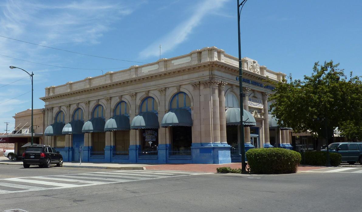
 | Sanger | 0.0km |
| Selma | 16.1km | |
| Fresno Yosemite International Airport | 16.3km | |
| Selma Airport | 16.8km | |
| Clovis | 18.5km | |
 | Fresno | 19.8km |
 | Hanford | 43.1km |
| Hanford Municipal Airport | 44.0km | |
| Visalia Municipal Airport | 45.7km | |
 | Visalia | 48.1km |
| Woodlake Airport | 52.8km | |
| Exeter Airport | 63.2km | |
| John Paul II International Airport | 9,573.2km | |
| Pierrefonds Airport | 18,236.5km | |
Accomodation
Restaurants
Museums
Golfs club
Weblinks
Comments
You need to log in to add comment