


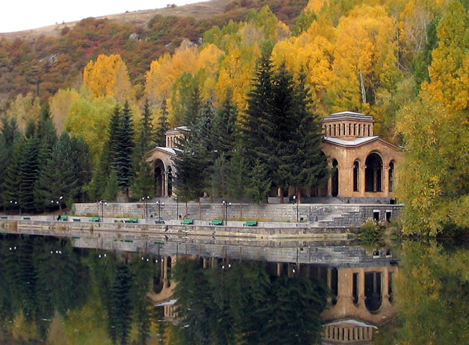
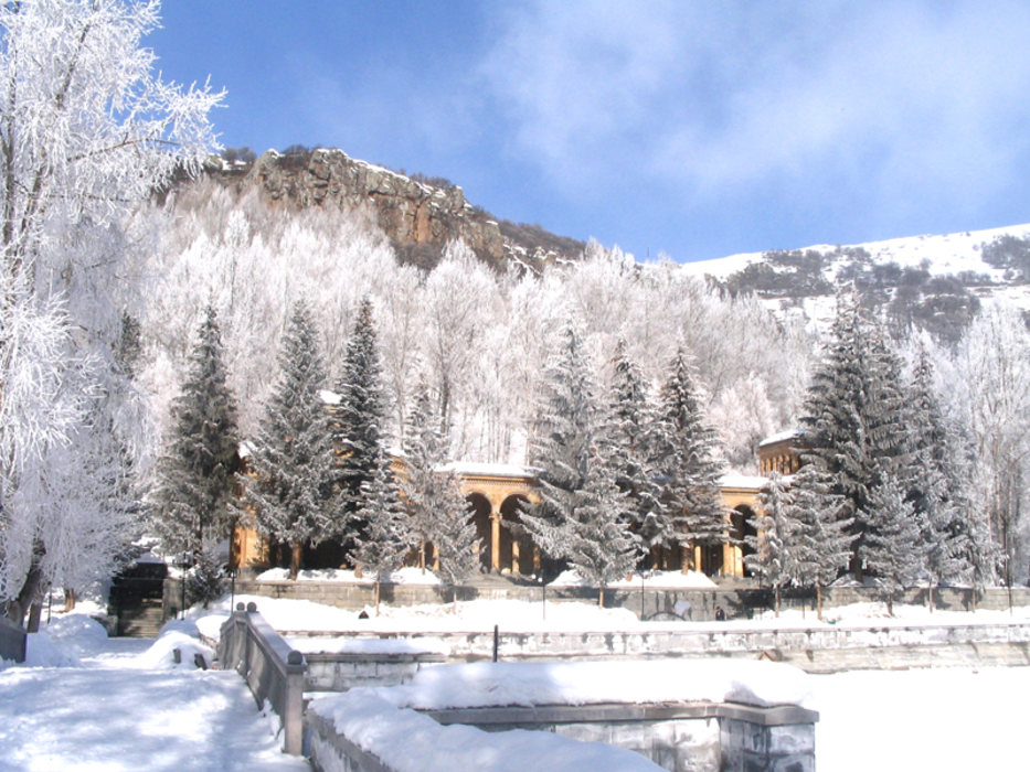
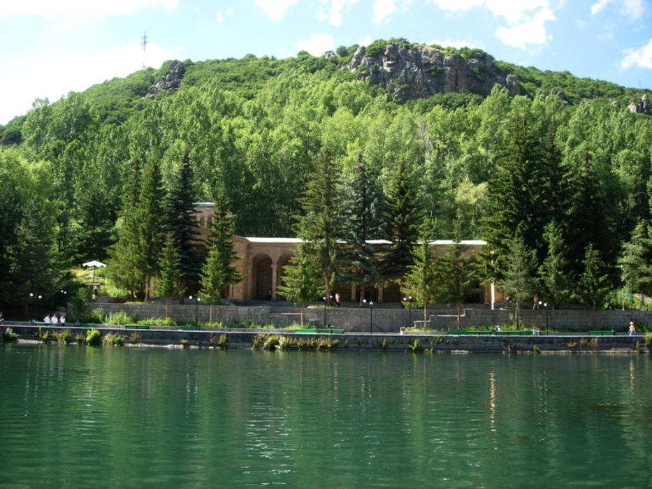


Map and nearest places
| Longitude | Latitude |
|---|---|
| 39.8416666666667 | 45.672222222222196 |
| 39°50'0"N | 45°40'0"E |
| Nearest places | ||
|---|---|---|
| Yeghegnadzor | 30.3km | |
| Goris | 68.1km | |
 | Nakchevan | 73.8km |
| Nakhichevan Airport | 74.8km | |
| Stepanakert | 92.2km | |
 | Kapan | 95.6km |
| Erebuni | 103.0km | |
| Erebuni Airport | 107.5km | |
| Ganja Airport | 113.7km | |
| Zvartnots International Airport | 113.9km | |
| Khoy Airport | 168.4km | |
| Stepanavan Airport | 175.4km | |
| John Paul II International Airport | 2,316.2km | |
| Totegegie Airport | 18,151.0km | |
Accomodation
Weblinks
Comments
You need to log in to add comment