


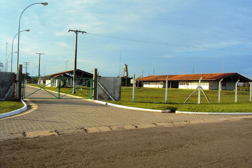
Gallery


Map and nearest places
| Longitude | Latitude |
|---|---|
| -6.63944444444444 | -69.8797222222222 |
| 6°38'0"S | 69°52'0"W |
| Nearest places | ||
|---|---|---|
 | Eirunepe | 2.4km |
| Feij� Airport | 174.7km | |
| Feij� | 177.4km | |
 | Tarauac� | 195.4km |
| Tarauac� Airport | 195.7km | |
| Tabatinga International Airport | 265.1km | |
| Tabatinga | 265.5km | |
 | Leticia | 269.4km |
| Vasquez Cobo International Airport | 272.1km | |
| Sena Madureira | 301.5km | |
| Caballococha Airport | 310.6km | |
| Cruzeiro do Sul Airport | 336.3km | |
| John Paul II International Airport | 10,549.3km | |
| Co Ong Airport | 19,565.5km | |
General informations
| Airport type | Local airport |
| ICAO | SWEI |
| IATA | ERN |
| World Pax Ranking 2016 | #2341 |
| World Pax Ranking 2010 | #1729(+2) |
| Year | Pax |
|---|---|
| 2016 | 5602 |
| 2010 | 32678 |
| 2009 | 29409 |
| 2008 | 17704 |
| 2007 | 13598 |
| 2006 | 10517 |
| 2005 | 6553 |
Weblinks
Comments
You need to log in to add comment