


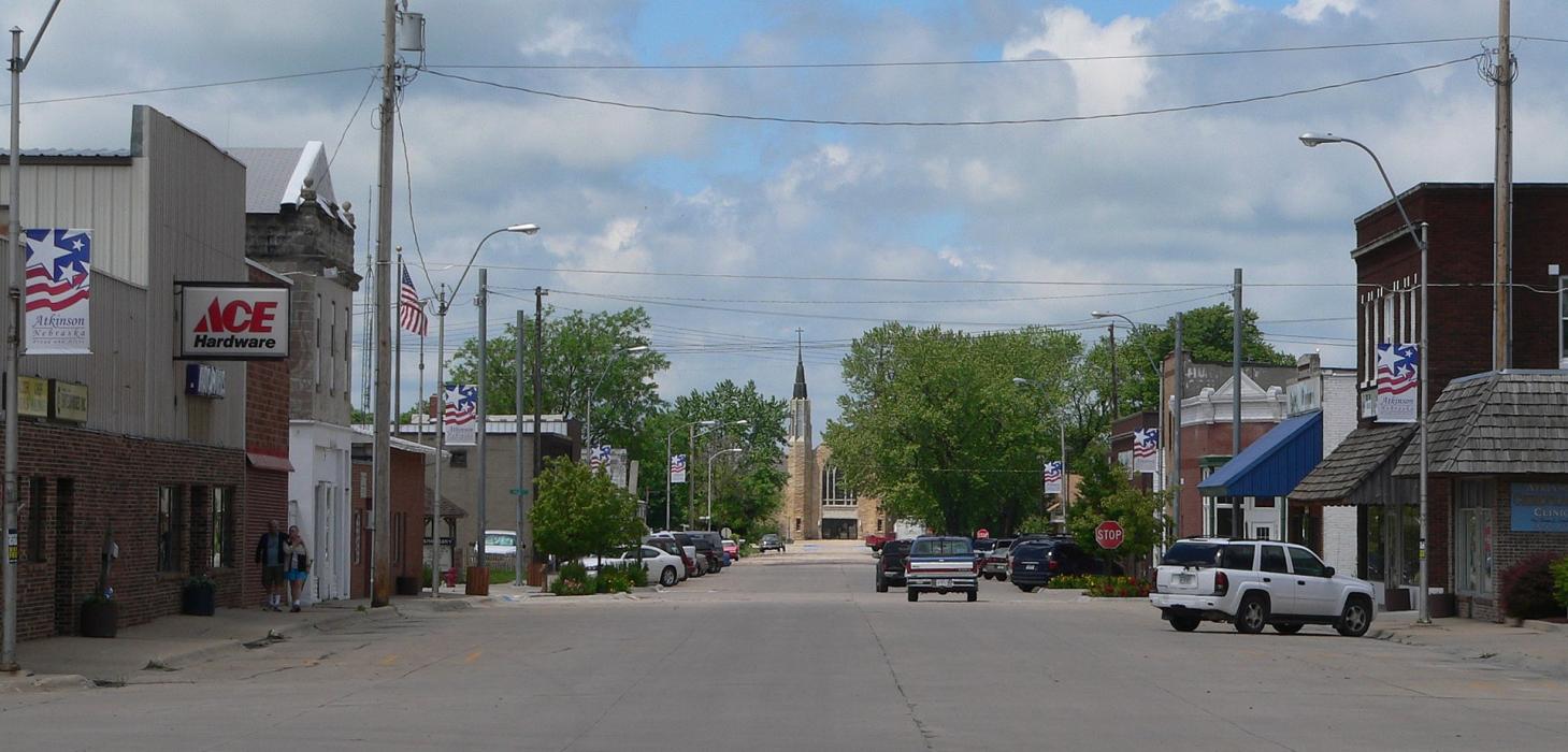
Gallery


Map and nearest places
| Longitude | Latitude |
|---|---|
| 42.531667 | -98.960278 |
| 42°31'0"N | 98°57'0"W |
| Nearest places | ||
|---|---|---|
| The O'Neill Municipal-John L Baker Field | 23.3km | |
| O'Neill | 26.9km | |
| Bassett | 47.6km | |
| Rock County Airport | 50.0km | |
| Ainsworth | 73.6km | |
| Lake Andes Municipal Airport | 76.3km | |
| Lake Andes | 77.6km | |
| Wagner Municipal Airport | 80.2km | |
| Wagner | 81.7km | |
| Ainsworth Municipal Airport | 84.8km | |
| Bloomfield Municipal Airport | 105.5km | |
| Bloomfield | 107.8km | |
| John Paul II International Airport | 8,126.3km | |
| Sir Gaëtan Duval Airport | 16,988.8km | |
Accomodation
Restaurants
Golfs club
Breweries
Weblinks
Comments
You need to log in to add comment