


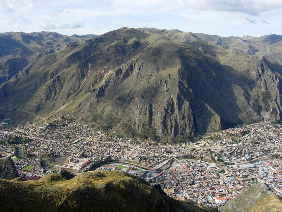


Map and nearest places
| Longitude | Latitude |
|---|---|
| -12.785 | -74.971389 |
| 12°47'0"S | 74°58'0"W |
| Nearest places | ||
|---|---|---|
 | Ayacucho | 91.2km |
| Coronel FAP Alfredo Mendivil Duarte Airport | 92.7km | |
| Jauja Airport | 124.0km | |
 | Jauja | 126.1km |
 | Ica | 164.6km |
 | Pisco | 168.9km |
| Mazamari | 169.0km | |
| Manuel Prado Ugarteche Airport | 169.1km | |
| Pisco Airport | 172.2km | |
| Andahuaylas Airport | 193.8km | |
| Andahuaylas | 197.4km | |
| Airport MARIA REICHE NEUMAN | 230.1km | |
| John Paul II International Airport | 11,431.2km | |
| Stung Treng Airport | 19,879.8km | |
Weblinks
Comments
You need to log in to add comment