


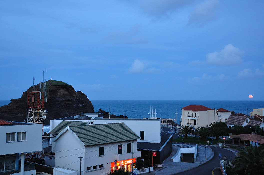

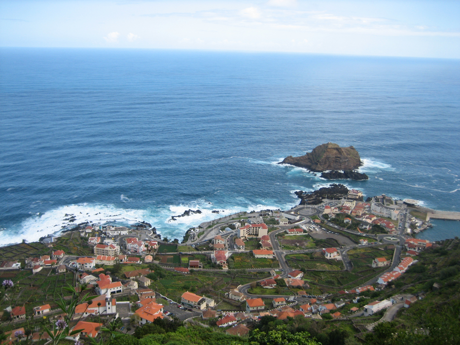


Map and nearest places
| Longitude | Latitude |
|---|---|
| 32.8125 | -17.1458333333333 |
| 32°48'0"N | 17°8'0"W |
| Nearest places | ||
|---|---|---|
 | Calheta | 9.8km |
 | Sao Vincente | 11.5km |
 | Ponta do Sol | 15.2km |
 | Ribeira Brava | 17.4km |
 | Camara de Lobos | 24.4km |
 | Funchal | 28.0km |
| Madeira Airport | 36.8km | |
| Porto Santo Airport | 80.1km | |
| La Palma Airport | 469.1km | |
| Los Rodeos Airport | 487.5km | |
| La Gomera Airport | 531.9km | |
| Reina Sofia International Airport | 533.0km | |
| John Paul II International Airport | 3,574.1km | |
| Lord Howe Island Airport | 19,632.4km | |
Accomodation

Restaurants
Weblinks
Comments
You need to log in to add comment