


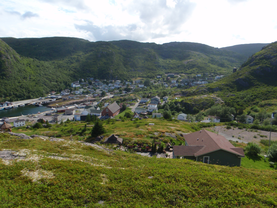
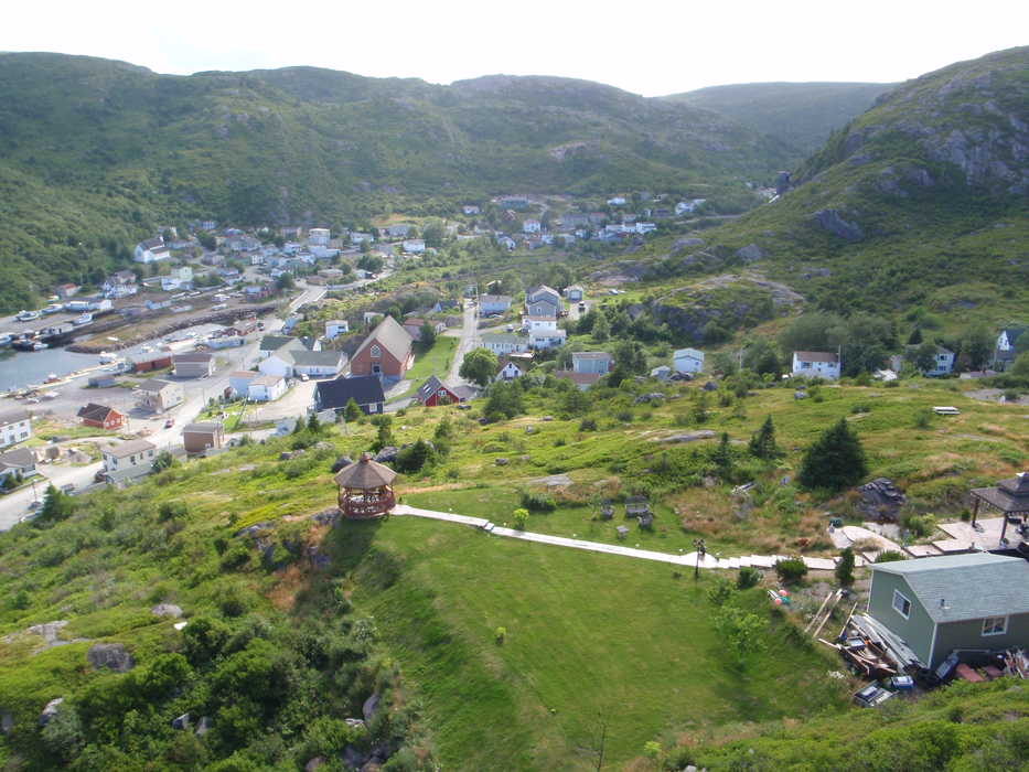
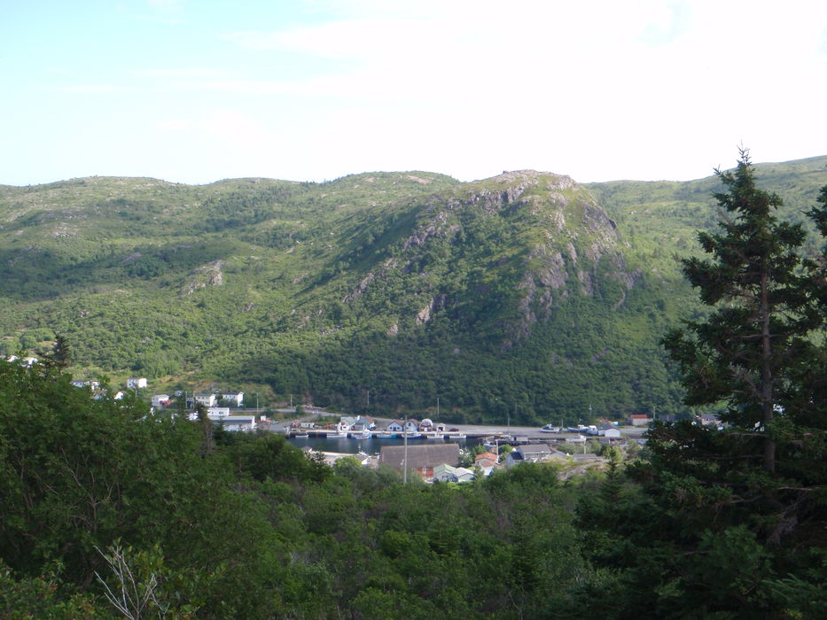


Map and nearest places
| Longitude | Latitude |
|---|---|
| 47.465556 | -52.711389 |
| 47°27'0"N | 52°42'0"W |
| Nearest places | ||
|---|---|---|
 | Mount Peral | 9.2km |
 | St Johns | 11.3km |
| St. John's International Airport | 17.3km | |
| Portugal Cove | 21.0km | |
| Bell Island | 26.7km | |
| Bell Island Airport | 27.7km | |
 | Brigus | 38.1km |
 | Harbour Grace | 47.1km |
| Harbour Grace Airport | 47.5km | |
| Clarenville Airport | 131.1km | |
| Gander International Airport | 213.8km | |
| Exploits Valley (Botwood) Airport | 268.9km | |
| John Paul II International Airport | 5,106.6km | |
| Portland Airport | 18,480.1km | |
Restaurants
Weblinks
Comments
You need to log in to add comment