


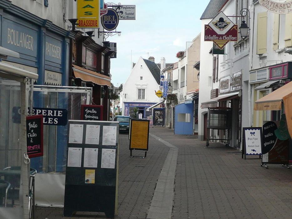
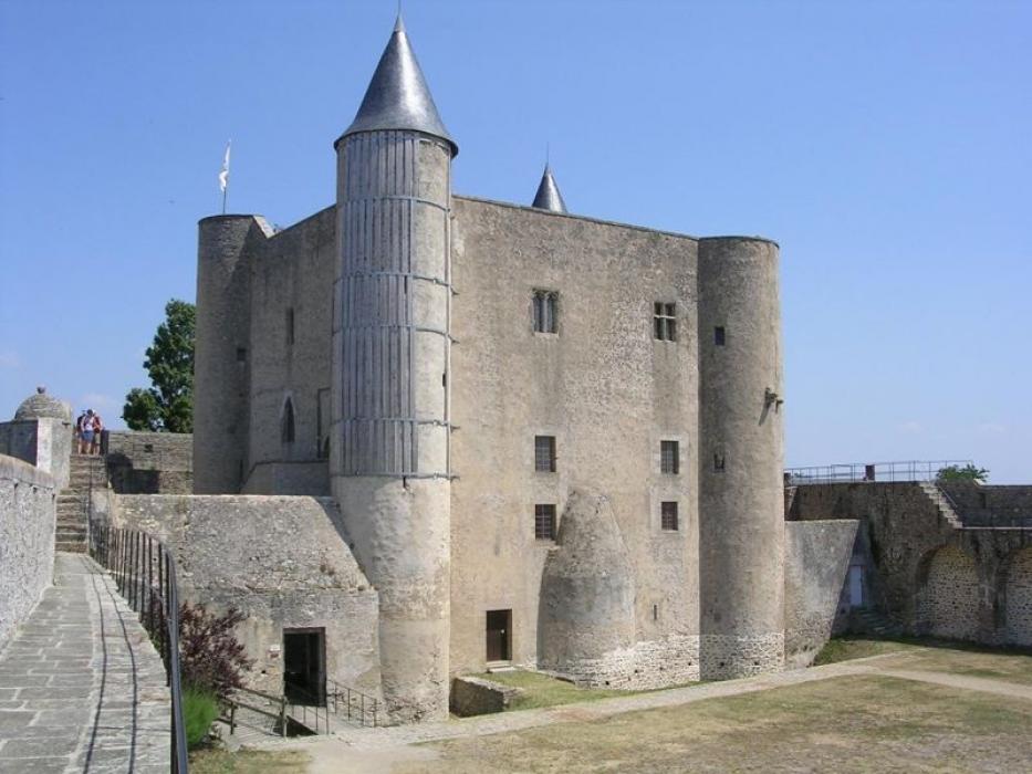
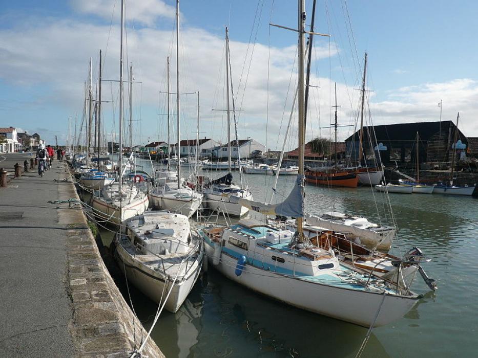


Map and nearest places
| Longitude | Latitude |
|---|---|
| 47.0044444444444 | -2.25333333333333 |
| 47°0'0"N | 2°15'0"W |
| Nearest places | ||
|---|---|---|
 | Pornic | 17.0km |
 | St-Jean-de-Monts | 27.7km |
 | Pornichet | 31.0km |
 | St Nazaire | 31.3km |
 | Ile d Yeu | 31.9km |
 | La-Baule-Escoublac | 33.1km |
| Ile d'Yeu Aerodrome | 33.5km | |
| St Nazaire Airport | 35.1km | |
| Nantes Atlantique Airport | 51.4km | |
| Less Ajoncs Airport | 74.5km | |
| Vannes - Golfe du Morbihan Airport | 87.0km | |
| Aeroport de Ancenis | 92.8km | |
| John Paul II International Airport | 1,651.6km | |
| Oamaru Airport | 19,452.9km | |
Accomodation

Weblinks
Comments
You need to log in to add comment