


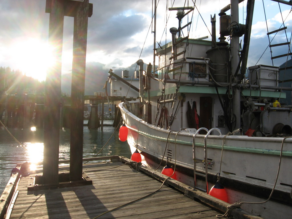
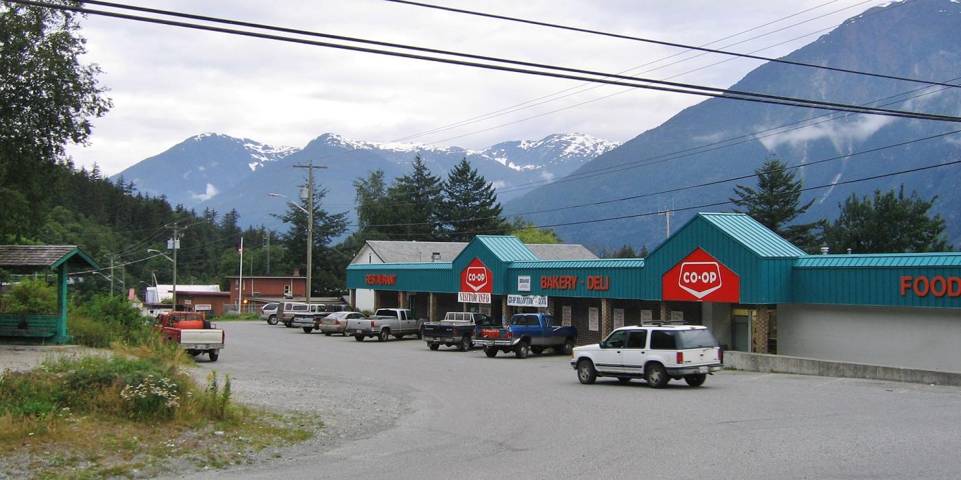
Gallery


Map and nearest places
| Longitude | Latitude |
|---|---|
| 52.366666666666696 | -126.75 |
| 52°22'0"N | 126°45'0"W |
| Nearest places | ||
|---|---|---|
| Bella Coola Airport | 10.7km | |
| Ocean Falls | 64.0km | |
| Bella Bella (Denny Island) Airport | 92.9km | |
| Bella Bella | 97.6km | |
| Campell Island Airport | 97.8km | |
| Anahim Lake | 97.8km | |
| Anahim Lake Airport | 98.6km | |
| Puntzi Mountain | 174.6km | |
| Puntzi Mountain Airport | 179.6km | |
| Port Hardy | 189.9km | |
| Port Hardy Airport | 192.3km | |
| Sointula - Malcolm Island | 193.9km | |
| John Paul II International Airport | 8,196.5km | |
| East London Airport | 17,055.5km | |
Accomodation
Restaurants
Airports
_955549954_50.jpg)
Weblinks
Comments
On 02-05-2022 19:27 Jerzy said:
There are 427.81 km (265.83 miles) from Bella Coola to Vancouver in southeast direction and 711.33 km (442 miles) by car and ferry, following the Bella Coola-Port Hardy Ferry route.
You need to log in to add comment
There are 427.81 km (265.83 miles) from Bella Coola to Vancouver in southeast direction and 711.33 km (442 miles) by car and ferry, following the Bella Coola-Port Hardy Ferry route.
You need to log in to add comment