


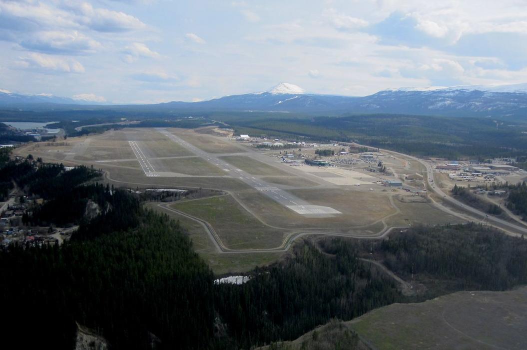
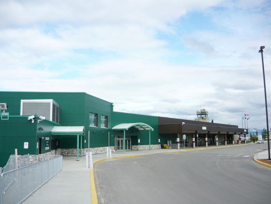
Gallery


Map and nearest places
| Longitude | Latitude |
|---|---|
| 60.7094444444445 | -135.067222222222 |
| 60°42'0"N | 135°4'0"W |
| Nearest places | ||
|---|---|---|
| Whitehorse | 1.4km | |
| Marsh Lake | 54.0km | |
| Carcross | 62.8km | |
| Carcross Airport | 62.9km | |
| Tagish | 63.2km | |
| Haines Junction | 132.7km | |
| Haines Junction Airport | 134.9km | |
| Skagway | 138.8km | |
| Skagway Airport | 139.6km | |
| Teslin Airport | 140.8km | |
| Atlin Airport | 147.8km | |
| Haines Airport | 164.9km | |
| John Paul II International Airport | 7,492.0km | |
| Port Elizabeth Airport | 16,734.7km | |
General informations
| Airport type | Regional airport |
| ICAO | CYXY |
| IATA | YXY |
| Elevation | 2,317 ft / 706 m MSL |
| World Pax Ranking 2017 | #1195(+18) |
| World Pax Ranking 2016 | #1213(+11) |
| World Pax Ranking 2015 | #1224(+32) |
| World Pax Ranking 2014 | #1256(-10) |
| World Pax Ranking 2013 | #1246(-32) |
| World Pax Ranking 2012 | #1214 |
| World Pax Ranking 2010 | #1137(+7) |
| Year | Pax |
|---|---|
| 2017 | 366000 |
| 2016 | 336433 |
| 2015 | 304871 |
| 2014 | 286407 |
| 2013 | 268926 |
| 2012 | 271904 |
| 2010 | 248302 |
| 2009 | 228693 |
| 2008 | 199594 |
| 2007 | 191931 |
| 2006 | 198137 |
| 2005 | 188275 |
| 2004 | 174524 |
| 2003 | 159261 |
| 2002 | 151691 |
| 2001 | 153872 |
| 2000 | 152825 |
| 1999 | 149921 |
| 1998 | 145138 |
| 1997 | 139584 |
| 1996 | 151706 |
| 1995 | 129420 |
| 1994 | 120294 |
| 1993 | 117916 |
| 1992 | 126919 |
| 1991 | 121016 |
| 1990 | 139699 |
| 1989 | 132060 |
| 1988 | 133585 |
| 1987 | 110138 |
Weblinks
Comments
On 12-27-2019 08:59 Jerzy said:
The furthest airport from Erik Nielsen Whitehorse International Airport (YXY) is Port Elizabeth International Airport (PLZ), which is located 10,398 miles (16,734 kilometers) away in Port Elizabeth, South Africa
On 12-27-2019 08:58 Jerzy said:
Distance from Whitehorse to Toronto (Erik Nielsen Whitehorse International Airport – Toronto Pearson International Airport) is 2534 miles / 4078 kilometers / 2202 nautical miles.
You need to log in to add comment