


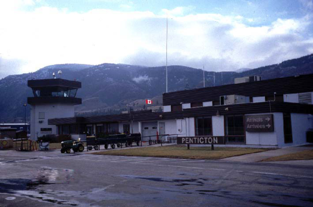
Gallery


Map and nearest places
| Longitude | Latitude |
|---|---|
| 49.4630555555556 | -119.601666666667 |
| 49°27'0"N | 119°36'0"W |
| Nearest places | ||
|---|---|---|
 | Penticton | 3.3km |
| Summerland | 16.2km | |
| Oliver | 31.4km | |
| Oliver Airport | 32.4km | |
| Cawston | 34.0km | |
 | Kelowna | 47.4km |
| Kelowna International Airport | 57.1km | |
| Oroville | 59.6km | |
| Midway Airport | 77.5km | |
| Tonasket Municipal Airport | 82.7km | |
| Vernon Regional Airport | 89.2km | |
| Grand Forks Airport | 98.5km | |
| John Paul II International Airport | 8,290.7km | |
| Tolagnaro Airport | 17,060.4km | |
General informations
| Airport type | Regional airport |
| ICAO | CYYF |
| IATA | YYF |
| Elevation | 1,129 ft / 344 m MSL |
| World Pax Ranking 2011 | #1585(+778) |
| World Pax Ranking 2010 | #2363 |
| Year | Pax |
|---|---|
| 2011 | 80000 |
| 2010 | 0 |
| 2009 | 0 |
| 2008 | 0 |
| 2007 | 0 |
| 2006 | 0 |
| 2002 | 42381 |
| 2001 | 50328 |
| 2000 | 34246 |
| 1999 | 37292 |
| 1998 | 79029 |
| 1997 | 57923 |
| 1996 | 74583 |
| 1995 | 71541 |
Weblinks
Comments
You need to log in to add comment