


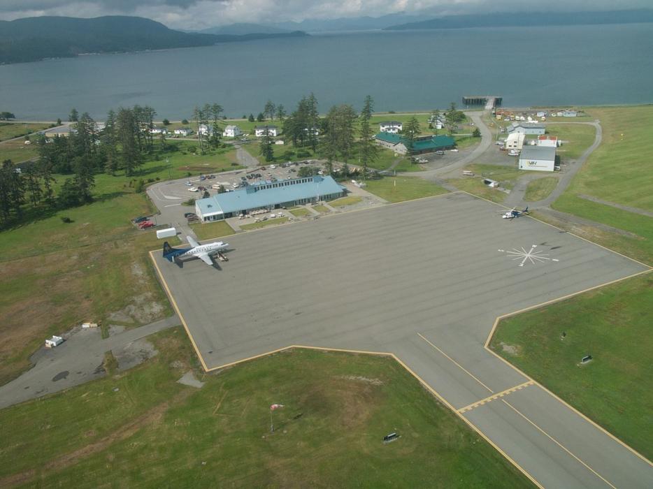
Gallery


Map and nearest places
| Longitude | Latitude |
|---|---|
| 53.2541666666667 | -131.813888888889 |
| 53°15'0"N | 131°48'0"W |
| Nearest places | ||
|---|---|---|
| Sandspit | 1.3km | |
| Port Clements | 53.6km | |
| Masset | 86.7km | |
| Masset Airport | 88.4km | |
| Prince Rupert Airport | 145.8km | |
| Prince Rupert | 153.4km | |
| Annette Island Airport | 199.5km | |
| Metlakatla | 208.8km | |
| Kitimat | 221.4km | |
| Hydaburg Seaplane Base | 226.9km | |
| Ketchikan International Airport | 233.8km | |
| Kitimat Airport | 235.6km | |
| John Paul II International Airport | 8,220.7km | |
| East London Airport | 17,246.1km | |
General informations
| Airport type | Regional airport |
| ICAO | CYZP |
| IATA | YZP |
| Elevation | 21 ft / 6 m MSL |
| Year | Pax |
|---|---|
| 2008 | 0 |
| 2007 | 0 |
| 2006 | 0 |
| 2005 | 0 |
| 2004 | 0 |
| 2003 | 0 |
| 2002 | 22639 |
| 2001 | 22799 |
| 2000 | 30287 |
| 1999 | 33277 |
| 1998 | 27786 |
| 1997 | 32469 |
| 1996 | 32107 |
| 1995 | 31548 |
Weblinks
Comments
You need to log in to add comment