


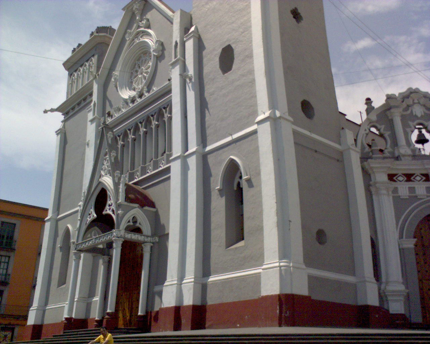


Map and nearest places
| Longitude | Latitude |
|---|---|
| 19.54 | -96.9275 |
| 19°32'0"N | 96°55'0"W |
| Nearest places | ||
|---|---|---|
| El Lencero Airport | 15.4km | |
| General Heriberto Jara Airport | 89.2km | |
 | Veracruz | 92.5km |
 | Poza Rica | 123.2km |
| Tehuacan Airport | 127.0km | |
 | Tehuacan | 129.4km |
| El Tajin National Airport | 130.6km | |
 | Puebla | 143.3km |
| San Pedro Cholula | 154.1km | |
| Hermanos Serdan International Airport | 157.3km | |
| Tuxpan | 164.4km | |
| Mexico City International Airport | 225.1km | |
| John Paul II International Airport | 10,105.4km | |
| Cocos Islands Airport | 18,332.7km | |
Airports
Comments
You need to log in to add comment