


Gallery


Map and nearest places
| Longitude | Latitude |
|---|---|
| 37.435 | -105.866388888889 |
| 37°26'0"N | 105°51'0"W |
| Nearest places | ||
|---|---|---|
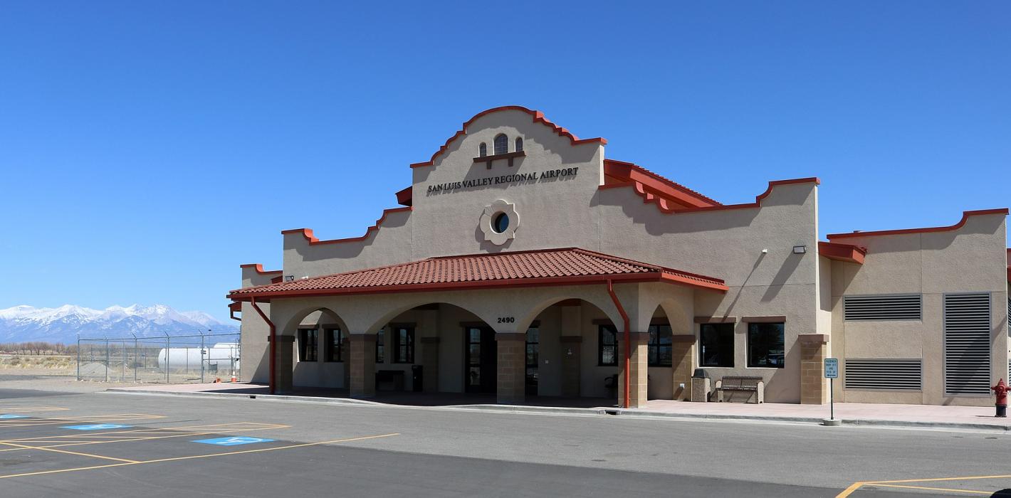
| Alamosa | 3.8km | |
| Monte Vista Municipal Airport | 19.0km | |
| Blanca Airport | 27.9km | |
| Monte Vista | 29.3km | |
| Blanca | 31.5km | |
| Center | 41.4km | |
| Leach Airport | 42.0km | |
| Del Norte | 50.8km | |
| Del Norte Municipal & County Airport | 53.0km | |
| South Fork | 73.2km | |
| Cuchara Valley Airport at La Veta | 76.3km | |
| Saguache Municipal Airport | 78.7km | |
| John Paul II International Airport | 8,924.5km | |
| Sir Gaëtan Duval Airport | 17,789.7km | |
General informations
| Airport type | Local airport |
| ICAO | KALS |
| IATA | ALS |
| FAA | ALS |
| Elevation | 7,539 ft / 2,298 m MSL |
Weblinks
Comments
On 01-02-2020 17:15 Jerzy said:
2nm S of Alamosa
You need to log in to add comment
2nm S of Alamosa
You need to log in to add comment