


Gallery


Map and nearest places
| Longitude | Latitude |
|---|---|
| 47.53 | -122.301944444444 |
| 47°31'0"N | 122°18'0"W |
| Nearest places | ||
|---|---|---|
| Seattle-Tacoma International Airport | 9.0km | |
 | Seattle | 9.2km |
| Bellevue | 13.1km | |
| Vashon Municipal Airport | 15.3km | |
| Vashon | 17.8km | |
| Kirkland | 19.2km | |
| Bainbridge Island | 22.3km | |
| Auburn Municipal Airport | 23.2km | |
| Auburn | 26.2km | |
| Tacoma Narrows Airport | 35.8km | |
| Harvey Airfield | 44.2km | |
| Firstair Field Airport | 44.4km | |
| John Paul II International Airport | 8,569.2km | |
| Tolagnaro Airport | 17,341.2km | |
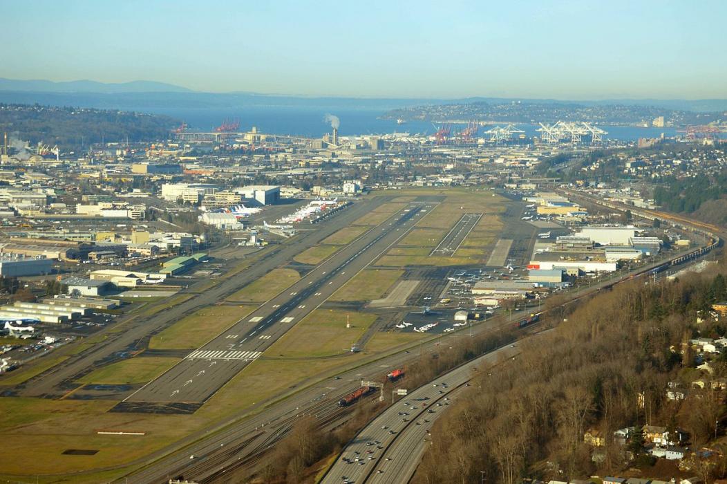
General informations
| Airport type | Major airport |
| ICAO | KBFI |
| IATA | BFI |
| FAA | BFI |
| Elevation | 21 ft / 6 m MSL |
Weblinks
Comments
You need to log in to add comment