


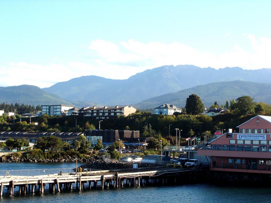

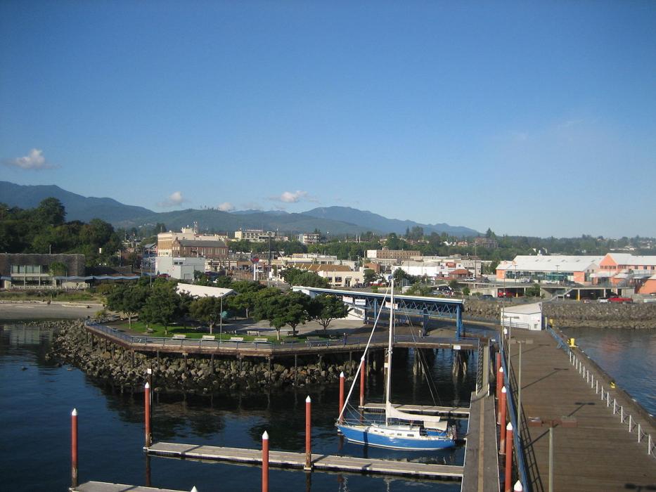


Map and nearest places
| Longitude | Latitude |
|---|---|
| 48.113056 | -123.440833 |
| 48°6'0"N | 123°26'0"W |
| Nearest places | ||
|---|---|---|
| William R. Fairchild International Airport | 4.4km | |
| Sequim | 25.5km | |
 | Victoria | 35.5km |
| Sooke | 36.6km | |
| Jefferson County International Airport | 47.3km | |
| Port Townsend | 49.4km | |
| Quilcene | 51.8km | |
| Friday Harbor Airport | 54.9km | |
| Friday Harbour | 55.9km | |
| Wes Lupien Airport | 58.9km | |
| Victoria International Airport | 59.4km | |
| Anacortes Airport | 71.8km | |
| John Paul II International Airport | 8,543.8km | |
| Tolagnaro Airport | 17,314.8km | |
Accomodation
Restaurants
Marinas
Golfs club
Wineries
Breweries
Airports
Weblinks
Comments
On 04-09-2020 16:47 Jerzy said:
There are 62.02 miles from Port Angeles to Seattle in southeast direction and 84 miles (135.18 kilometers) by car and ferry, following the US-101 route.
You need to log in to add comment
There are 62.02 miles from Port Angeles to Seattle in southeast direction and 84 miles (135.18 kilometers) by car and ferry, following the US-101 route.
You need to log in to add comment