


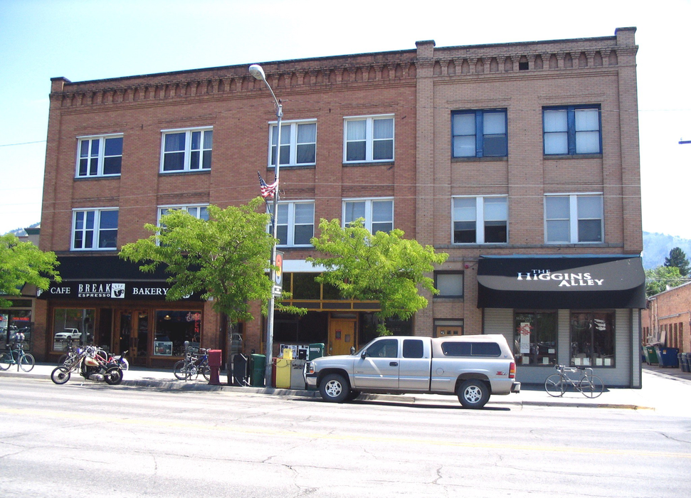
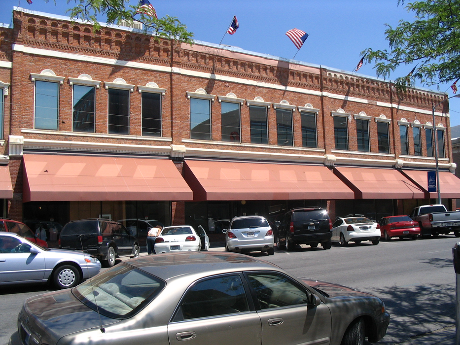
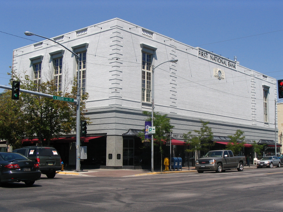
Gallery


Map and nearest places
| Longitude | Latitude |
|---|---|
| 46.8625 | -114.011666666667 |
| 46°51'0"N | 114°0'0"W |
| Nearest places | ||
|---|---|---|
| Missoula International Airport | 8.5km | |
| Lolo | 12.2km | |
| Stevensville | 39.9km | |
| Drummond Airport | 67.1km | |
| Ravalli County Airport | 68.5km | |
| Hamilton | 69.2km | |
| Drummond | 69.4km | |
| Superior | 76.1km | |
| Philipsburg | 80.3km | |
| Polson Airport | 93.6km | |
| Deer Lodge-City-County Airport | 109.0km | |
| Bowman Field | 117.8km | |
| John Paul II International Airport | 8,358.6km | |
| Tolagnaro Airport | 17,061.7km | |
Accomodation
Museums
Golfs club
Wineries
Spirits Distillery
Breweries
Airports
Weblinks
Comments
You need to log in to add comment