


Gallery


Map and nearest places
| Longitude | Latitude |
|---|---|
| 43.41722222222219 | -124.262777777778 |
| 43°25'0"N | 124°15'0"W |
| Nearest places | ||
|---|---|---|
| North Bend | 3.3km | |
| Coos Bay | 5.0km | |
| Winchester Bay | 29.7km | |
| Reedsport | 33.6km | |
| Bandon | 35.3km | |
| Bandon State Airport | 38.6km | |
| Elkton | 61.1km | |
| Florence Municipal Airport | 64.1km | |
| Roseburg Regional Airport | 76.0km | |
| Gold Beach Municipal Airport | 112.2km | |
| Eugene Airport | 114.8km | |
| Grants Pass Airport | 123.5km | |
| John Paul II International Airport | 9,049.8km | |
| Tolagnaro Airport | 17,820.9km | |
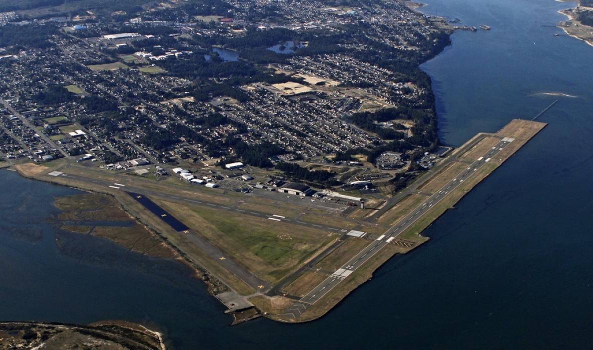
General informations
| Airport type | Regional airport |
| ICAO | KOTH |
| IATA | OTH |
| FAA | OTH |
| Elevation | 17 ft / 5 m MSL |
| World Pax Ranking 2023 | #1740(+79) |
| World Pax Ranking 2022 | #1819(-12) |
| World Pax Ranking 2021 | #1807(+119) |
| World Pax Ranking 2020 | #1926(+141) |
| World Pax Ranking 2019 | #2067(+27) |
| World Pax Ranking 2018 | #2094 |
| Year | Pax |
|---|---|
| 2023 | 39180 |
| 2022 | 34122 |
| 2021 | 27104 |
| 2020 | 13570 |
| 2019 | 26786 |
| 2018 | 24738 |
| 2005 | 72150 |
| 2004 | 61792 |
| 2003 | 61654 |
| 2002 | 60303 |
| 2001 | 57596 |
| 2000 | 57970 |
| 1999 | 59645 |
| 1998 | 50700 |
| 1997 | 37900 |
| 1996 | 40600 |
| 1995 | 42700 |
Weblinks
Comments
You need to log in to add comment