


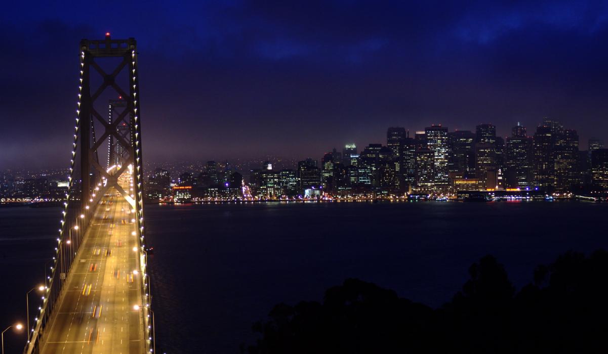
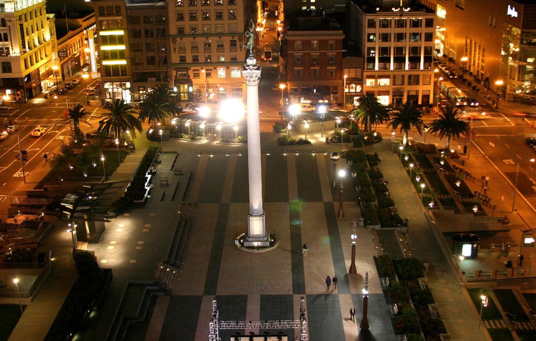
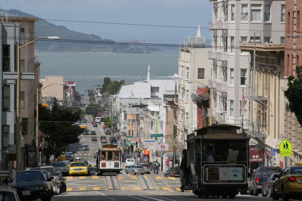
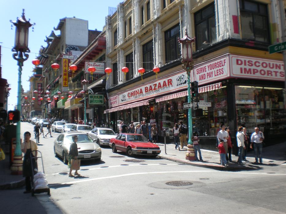
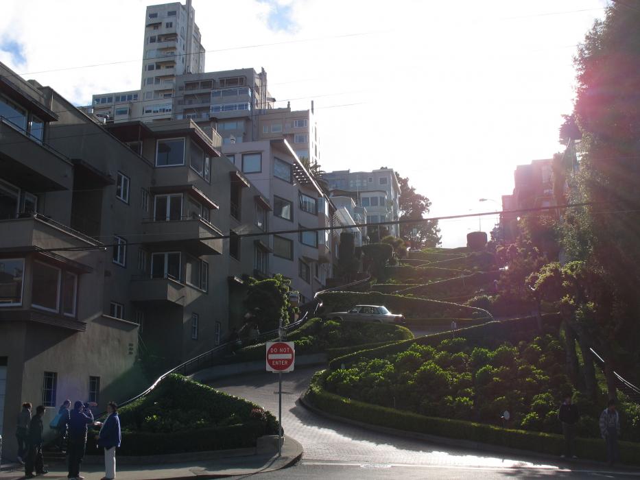
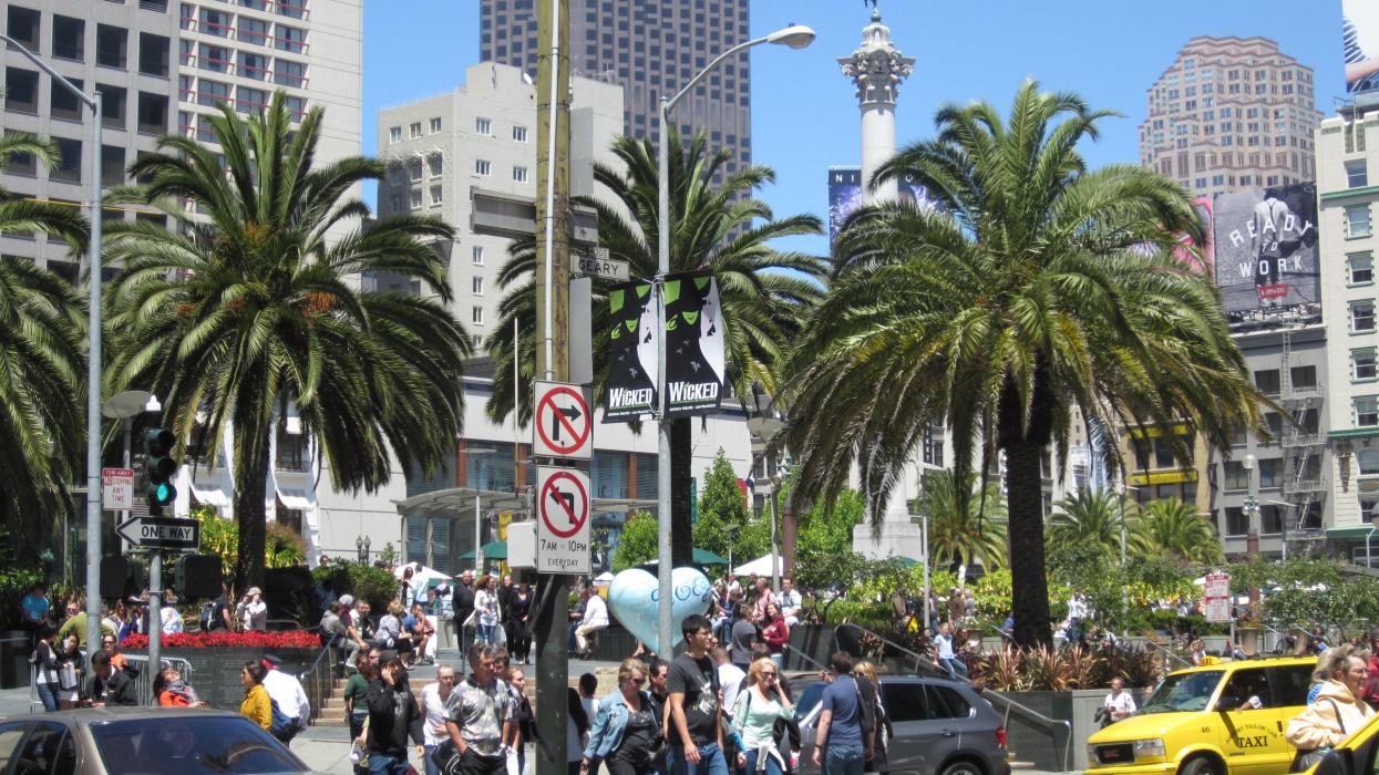
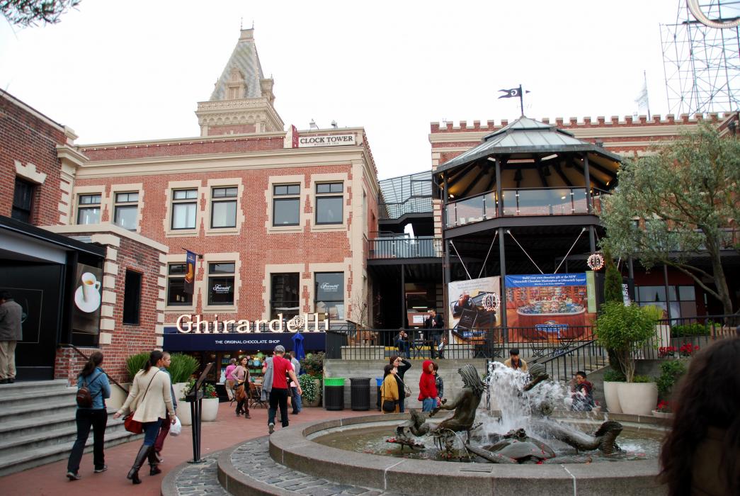
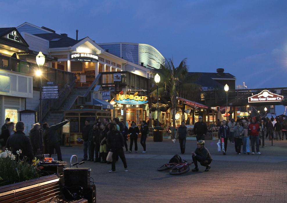
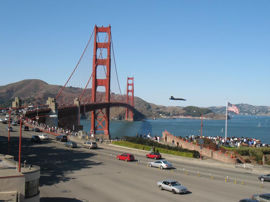
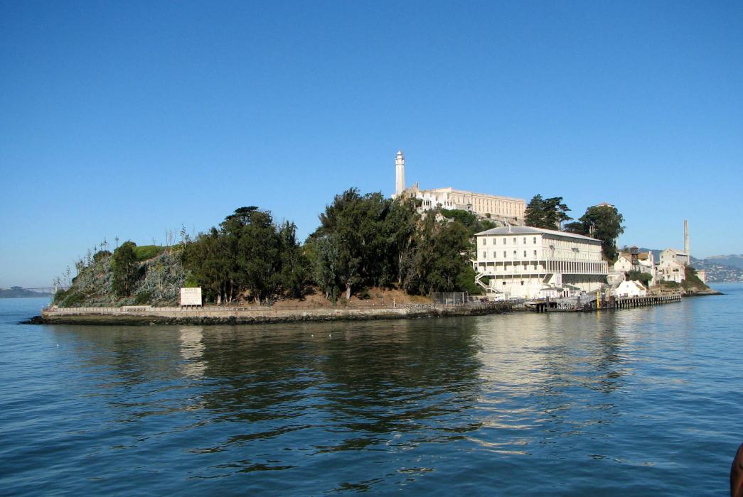
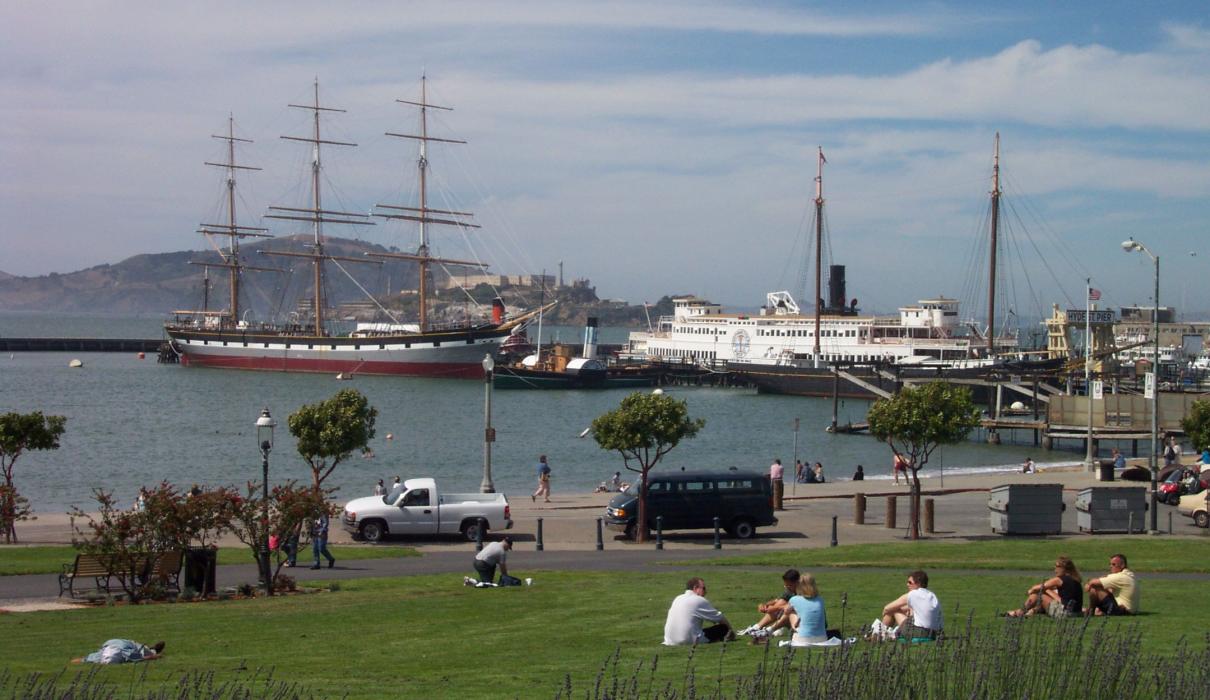
Gallery


Map and nearest places
| Longitude | Latitude |
|---|---|
| 37.7791666666667 | -122.419166666667 |
| 37°46'0"N | 122°25'0"W |
| Nearest places | ||
|---|---|---|
| Sausalito | 10.6km | |
 | Alameda | 13.0km |
| Oakland | 13.3km | |
| Berkeley | 16.5km | |
| Mill Valley | 17.9km | |
| San Francisco International Airport | 18.2km | |
| Richmond | 18.5km | |
| Metropolitan Oakland International Airport | 18.6km | |
| Hayward Executive Airport | 29.3km | |
| Half Moon Bay Airport | 30.4km | |
| San Carlos Airport | 33.3km | |
| Buchanan Field Airport | 39.5km | |
| John Paul II International Airport | 9,567.5km | |
| Tolagnaro Airport | 18,279.0km | |
Accomodation
Restaurants
Spirits Distillery
Airports

Weblinks
Comments
You need to log in to add comment