


Map and nearest places
| Longitude | Latitude |
|---|---|
| 66.8972222222222 | -162.585555555556 |
| 66°53'0"N | 162°35'0"W |
| Nearest places | ||
|---|---|---|
| Ralph Wien Memorial Airport | 1.5km | |
| Noatak Airport | 75.8km | |
| Noatak | 76.9km | |
| Deering | 91.5km | |
| Deering Airport | 92.4km | |
| Bob Baker Memorial Airport | 94.0km | |
| Kiana | 94.3km | |
| Selawik | 117.7km | |
| Selawik Airport | 118.8km | |
| Buckland Airport | 120.2km | |
| Buckland | 120.3km | |
| Kivalina | 124.6km | |
| John Paul II International Airport | 7,006.5km | |
| Cape Town International Airport | 16,352.6km | |
Airports
Weblinks
Comments
On 01-01-2023 22:19 Jerzy said:
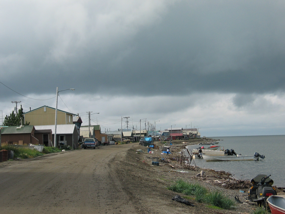
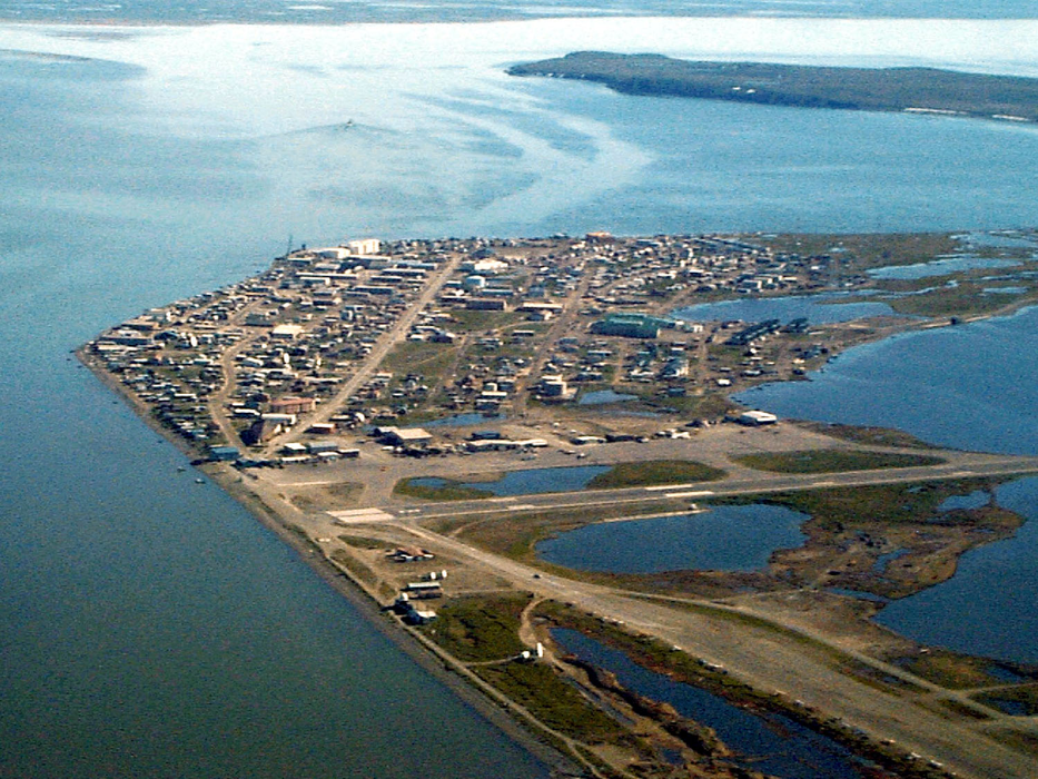
Location: The City of Kotzebue is located 26 miles north of the Arctic Circle on Alaska’s Western coast.
You need to log in to add comment
Location: The City of Kotzebue is located 26 miles north of the Arctic Circle on Alaska’s Western coast.
You need to log in to add comment