


Gallery


Map and nearest places
| Longitude | Latitude |
|---|---|
| 66.5675 | -145.256388888889 |
| 66°34'0"N | 145°15'0"W |
| Nearest places | ||
|---|---|---|
| Fort Yukon Airport | 0.5km | |
| Venetie Airport | 69.1km | |
| Venetie | 74.3km | |
| Circle City | 97.2km | |
| Circle City Airport | 97.6km | |
| Central Airport | 112.5km | |
| Central | 117.7km | |
| Fairbanks | 222.8km | |
| North Pole | 223.6km | |
| Fairbanks International Airport | 228.3km | |
| Old Crow Airport | 259.7km | |
| Old Crown | 261.1km | |
| John Paul II International Airport | 6,982.9km | |
| Port Elizabeth Airport | 16,343.0km | |
Airports
Weblinks
Comments
On 06-03-2021 15:29 Jerzy said:
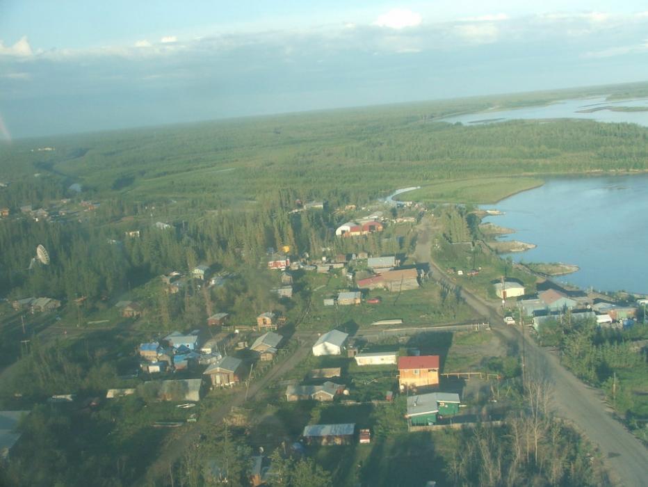
Travel to Fort Yukon involves either a small plane or a river boat. By plane, it\'s an hour long flight over the White Mountains. By boat, it\'s a 3-4 hour drive from Fairbanks to Circle, then a 3-4 hour boat ride on the Yukon River.
You need to log in to add comment
Travel to Fort Yukon involves either a small plane or a river boat. By plane, it\'s an hour long flight over the White Mountains. By boat, it\'s a 3-4 hour drive from Fairbanks to Circle, then a 3-4 hour boat ride on the Yukon River.
You need to log in to add comment