


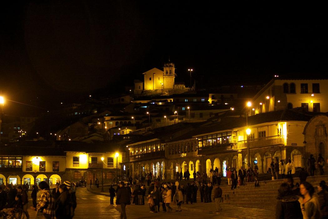
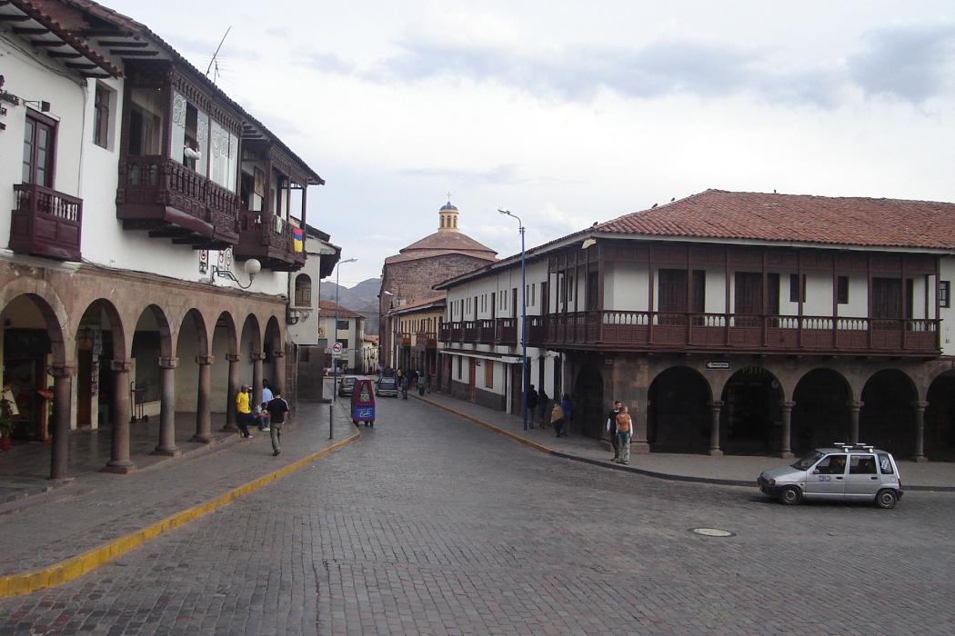
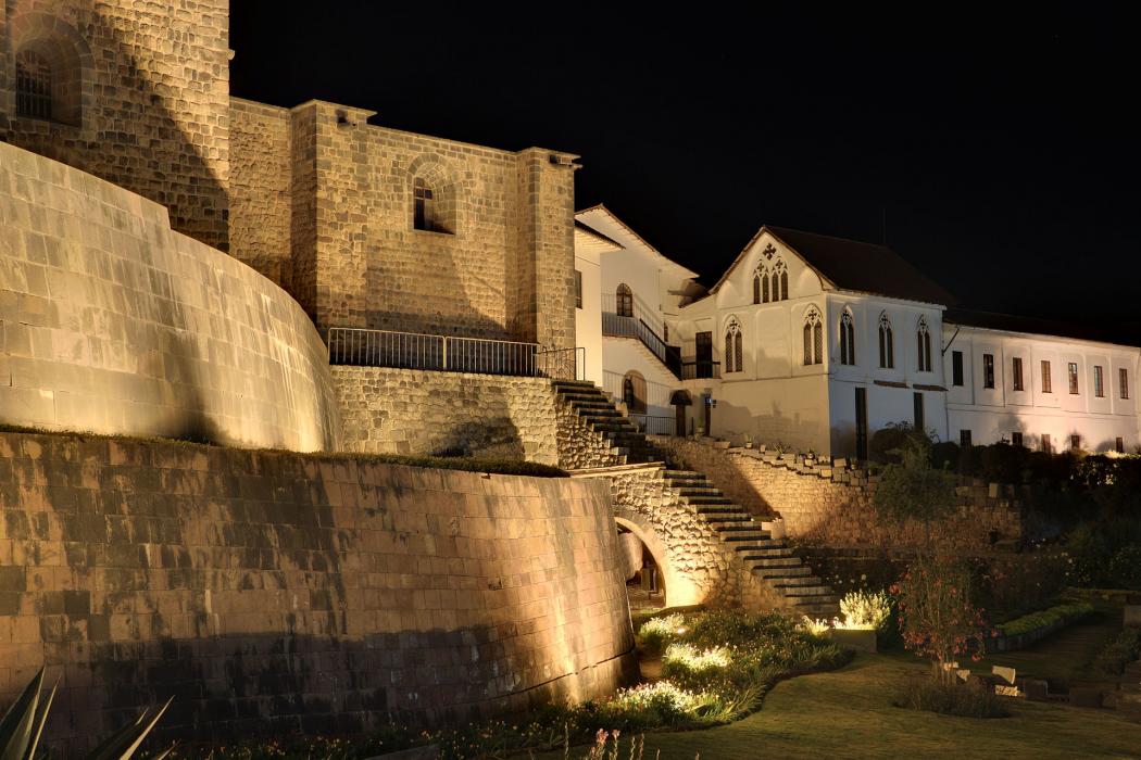
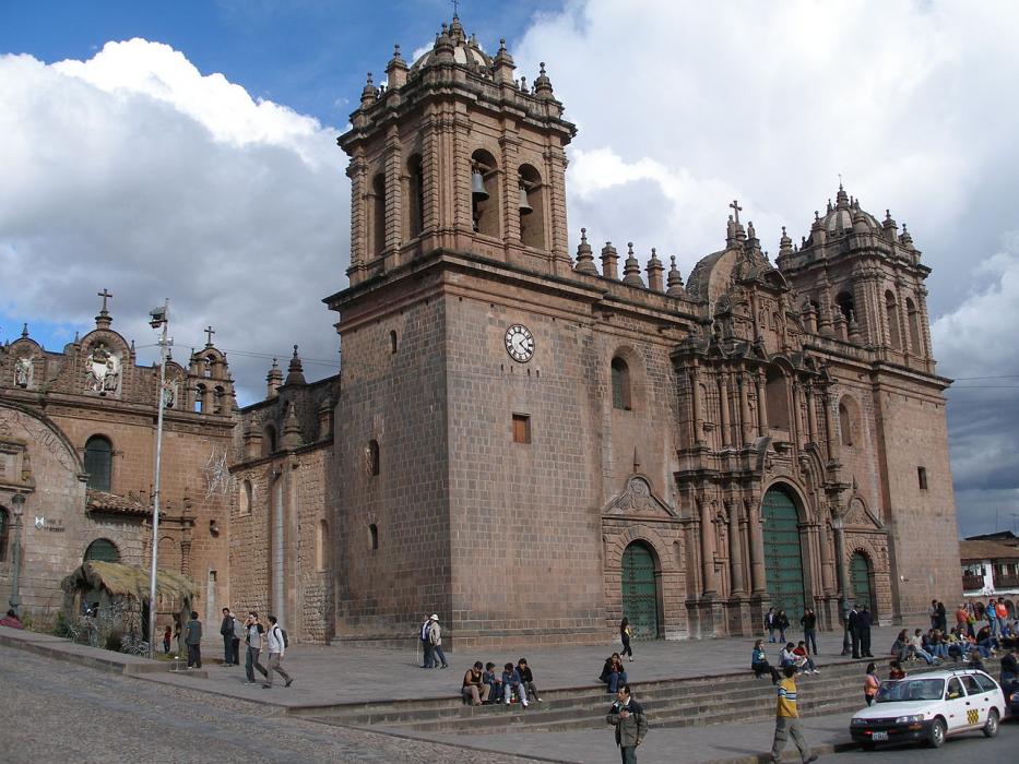


Map and nearest places
| Longitude | Latitude |
|---|---|
| -13.5 | -71.9666666666667 |
| 13°30'0"S | 71°58'0"W |
| Nearest places | ||
|---|---|---|
| Alejandro Velasco Astete International Airport | 5.0km | |
| Urubamba | 27.2km | |
| Ollantaytambo | 41.9km | |
| Machu Picchu | 73.0km | |
| Quince Mill Airport | 134.6km | |
| Andahuaylas | 154.1km | |
| Yauri Airport | 155.6km | |
| Yauri | 155.9km | |
| Andahuaylas Airport | 157.6km | |
| San Rafael Airport | 183.4km | |
| Coronel FAP Alfredo Mendivil Duarte Airport | 245.1km | |
 | Ayacucho | 247.1km |
| John Paul II International Airport | 11,278.1km | |
| Pleiku Airport | 19,959.0km | |
Accomodation
Restaurants
Airports
Weblinks
Comments
You need to log in to add comment