


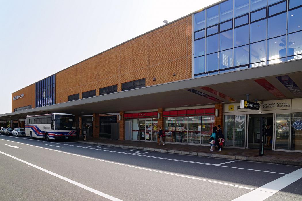
Gallery


Map and nearest places
| Longitude | Latitude |
|---|---|
| 35.4922222222222 | 133.236388888889 |
| 35°29'0"N | 133°14'0"E |
| Nearest places | ||
|---|---|---|
| Yonago | 11.0km | |
| Izumo Airport | 32.6km | |
| Izumo | 44.8km | |
| Oki Airport | 77.0km | |
| Dogo | 82.5km | |
| Tottori Airport | 83.9km | |
| Tottori | 90.3km | |
| Okayama Airport | 99.3km | |
| Okayama | 112.3km | |
| Hiroshima Airport | 120.9km | |
| Tajima Airport | 140.4km | |
| Hiroshima | 142.2km | |
| John Paul II International Airport | 8,481.0km | |
| Rio Grande Airport | 19,388.3km | |
General informations
| Airport type | Regional airport |
| ICAO | RJOH |
| IATA | YGJ |
| Elevation | 20 ft / 6 m MSL |
| World Pax Ranking 2023 | #999(+141) |
| World Pax Ranking 2022 | #1140(+134) |
| World Pax Ranking 2021 | #1274(-182) |
| World Pax Ranking 2020 | #1092(-85) |
| World Pax Ranking 2019 | #1007(-1) |
| World Pax Ranking 2018 | #1006(-51) |
| World Pax Ranking 2017 | #955(+12) |
| World Pax Ranking 2016 | #967(-63) |
| World Pax Ranking 2015 | #904(-112) |
| World Pax Ranking 2014 | #792(+143) |
| World Pax Ranking 2013 | #935(+46) |
| World Pax Ranking 2012 | #981(0) |
| World Pax Ranking 2011 | #981(-82) |
| World Pax Ranking 2010 | #899(+4) |
| Year | Pax |
|---|---|
| 2023 | 575173 |
| 2022 | 340970 |
| 2021 | 171037 |
| 2020 | 219807 |
| 2019 | 692137 |
| 2018 | 674989 |
| 2017 | 658823 |
| 2016 | 616910 |
| 2015 | 666445 |
| 2014 | 864528 |
| 2013 | 575543 |
| 2012 | 463252 |
| 2011 | 418034 |
| 2010 | 468694 |
| 2009 | 438246 |
| 2008 | 490065 |
| 2007 | 499253 |
| 2006 | 495208 |
| 2005 | 476392 |
| 2004 | 473780 |
| 2003 | 445873 |
| 2002 | 445285 |
| 2001 | 442385 |
| 2000 | 414219 |
Weblinks
Comments
You need to log in to add comment