


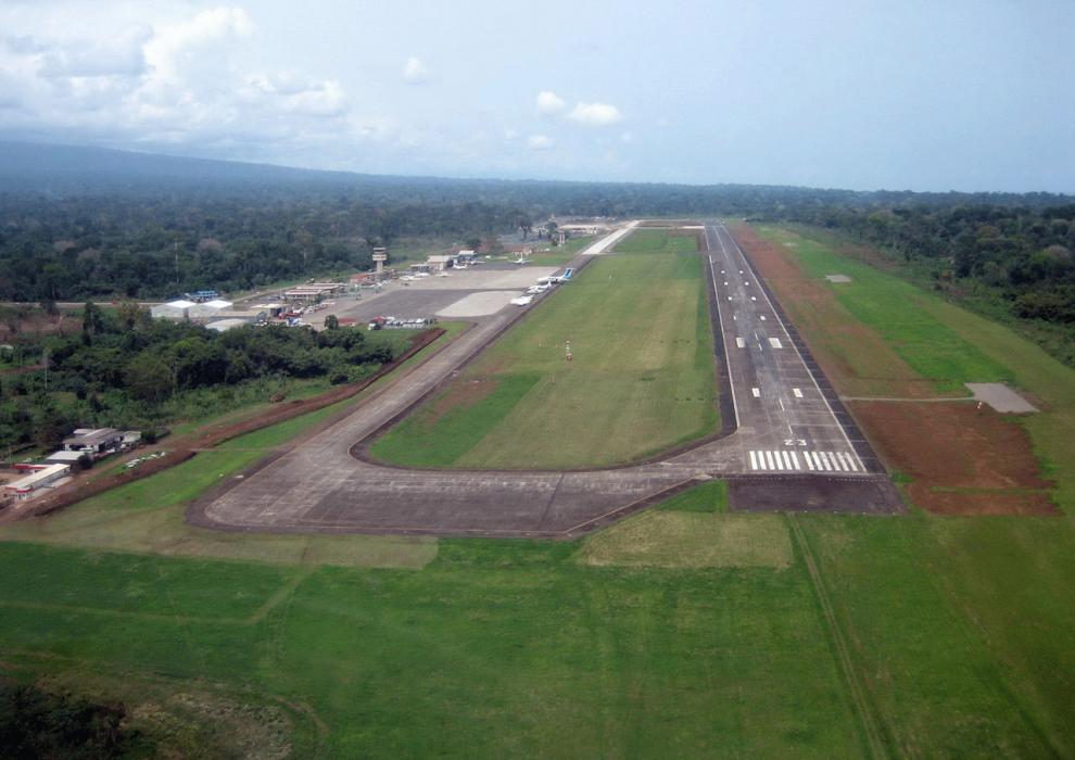
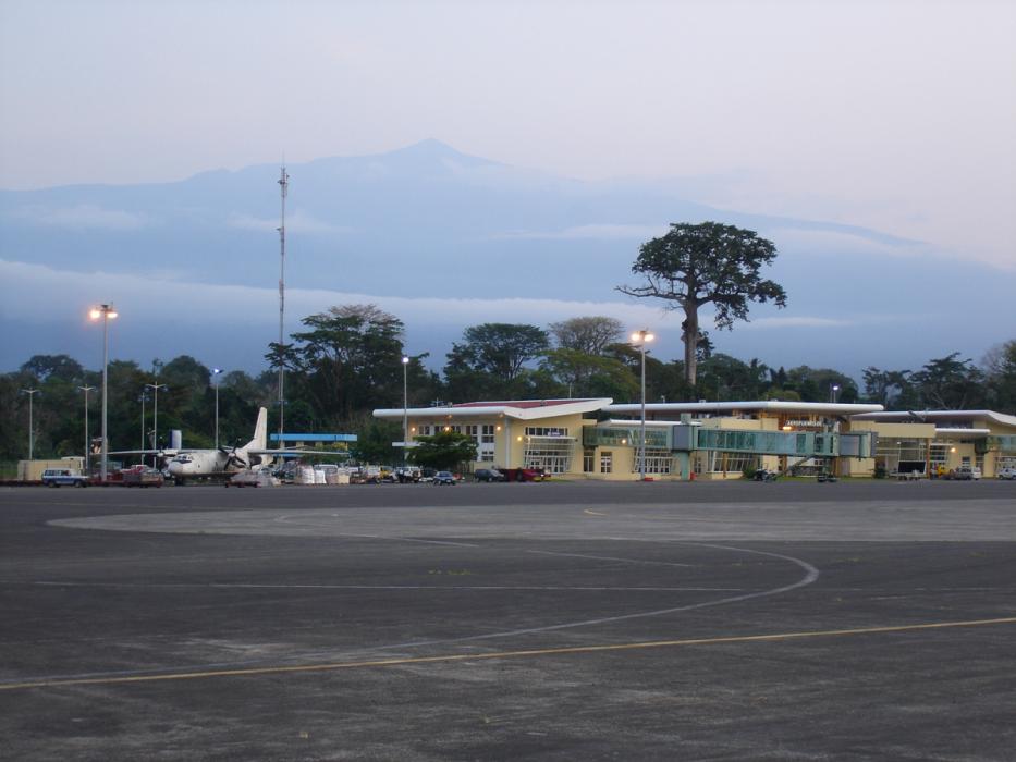
Gallery


Map and nearest places
| Longitude | Latitude |
|---|---|
| 3.755 | 8.70861111111111 |
| 3°45'0"N | 8°42'0"E |
| Nearest places | ||
|---|---|---|
| Malabo | 8.3km | |
| Tiko Airport | 81.3km | |
| Tiko | 81.5km | |
| Douala | 114.8km | |
| Douala International Airport | 115.6km | |
| Calabar | 139.5km | |
| Calabar Airport | 141.6km | |
| Port Harcourt | 219.4km | |
| Bata Airport | 239.0km | |
| Port Harcourt International Airport | 240.2km | |
_518028313_16.png) | Bata | 243.1km |
| Sam Mbakwe International Airport | 249.6km | |
| John Paul II International Airport | 5,255.1km | |
| Canton Island Airport | 19,895.9km | |
General informations
| Airport type | Regional airport |
| ICAO | FGSL |
| IATA | SSG |
| Elevation | 76 ft / 23 m MSL |
| World Pax Ranking 2020 | #1061 |
| World Pax Ranking 2017 | #957(-148) |
| World Pax Ranking 2016 | #809 |
| World Pax Ranking 2014 | #810 |
| Year | Pax |
|---|---|
| 2020 | 237376 |
| 2017 | 657287 |
| 2016 | 886559 |
| 2014 | 830682 |
| 2009 | 373127 |
| 2008 | 387399 |
| 2007 | 301372 |
| 2004 | 369496 |
| 2000 | 187474 |
| 1999 | 66652 |
| 1998 | 51022 |
| 1997 | 41371 |
Weblinks
Comments
You need to log in to add comment