


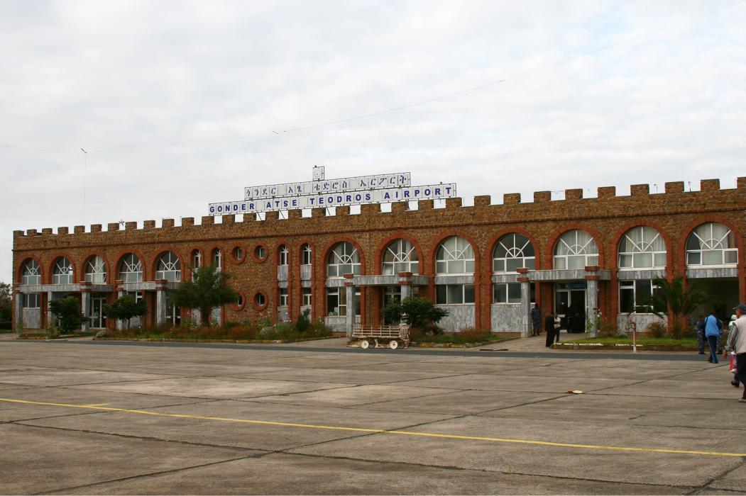
Gallery


Map and nearest places
| Longitude | Latitude |
|---|---|
| 12.519722222222201 | 37.4338888888889 |
| 12°31'0"N | 37°26'0"E |
| Nearest places | ||
|---|---|---|
| Gondar | 9.6km | |
| Debre Tabor Airport | 87.0km | |
| Debre Tabor | 97.8km | |
| Lalibela Airport | 178.6km | |
| Lalibella | 182.9km | |
| Axum | 226.5km | |
| Axum Airport | 231.8km | |
| Mekele | 244.9km | |
| Alula Aba Nega Airport | 250.7km | |
| Kassala Airport | 340.4km | |
| Kassala | 345.8km | |
| Asmara International Airport | 347.0km | |
| John Paul II International Airport | 4,475.4km | |
| Napuka Airport | 19,783.4km | |
General informations
| Airport type | Local airport |
| ICAO | HAGN |
| IATA | GDQ |
| Elevation | 6,449 ft / 1,966 m MSL |
| Year | Pax |
|---|---|
| 2005 | 60889 |
| 2004 | 59966 |
Weblinks
Comments
You need to log in to add comment