


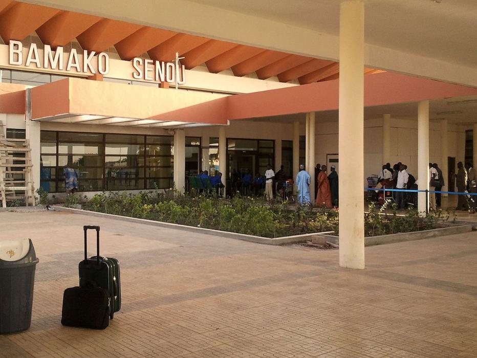
Gallery


Map and nearest places
| Longitude | Latitude |
|---|---|
| 12.5333333333333 | -7.949722222222221 |
| 12°31'0"N | 7°56'0"W |
| Nearest places | ||
|---|---|---|
| Bamako | 14.1km | |
| Segou | 208.9km | |
| Sikasso | 282.8km | |
| Djenne | 398.1km | |
| Bobo Dioulasso Airport | 422.4km | |
| Bobo Dioulasso | 426.3km | |
| Kayes | 432.8km | |
| Kayes Airport | 433.5km | |
| Mopti Airport | 472.7km | |
| Aioun el Atrouss Airport | 498.8km | |
| Selibady Airport | 545.7km | |
| Kiffa Airport | 584.6km | |
| John Paul II International Airport | 4,878.2km | |
| Naone Airport | 19,506.4km | |
General informations
| Airport type | International regional airport |
| ICAO | GABS |
| IATA | BKO |
| World Pax Ranking 2017 | #923(+57) |
| World Pax Ranking 2016 | #980(-32) |
| World Pax Ranking 2015 | #948(-3) |
| World Pax Ranking 2014 | #945(-39) |
| World Pax Ranking 2013 | #906(+29) |
| World Pax Ranking 2012 | #935(-75) |
| World Pax Ranking 2011 | #860(-53) |
| World Pax Ranking 2010 | #807 |
| Year | Pax |
|---|---|
| 2017 | 686431 |
| 2016 | 588196 |
| 2015 | 602074 |
| 2014 | 611723 |
| 2013 | 606430 |
| 2012 | 533054 |
| 2011 | 582143 |
| 2010 | 613837 |
| 2009 | 618506 |
| 2008 | 623159 |
| 2007 | 598713 |
| 2006 | 528464 |
| 2005 | 516378 |
| 2004 | 486526 |
| 2003 | 423506 |
| 2002 | 336508 |
| 2001 | 363889 |
| 2000 | 417974 |
| 1999 | 402601 |
| 1998 | 382734 |
| 1997 | 363352 |
| 1996 | 308265 |
| 1995 | 298625 |
| 1994 | 203374 |
Weblinks
Comments
You need to log in to add comment