


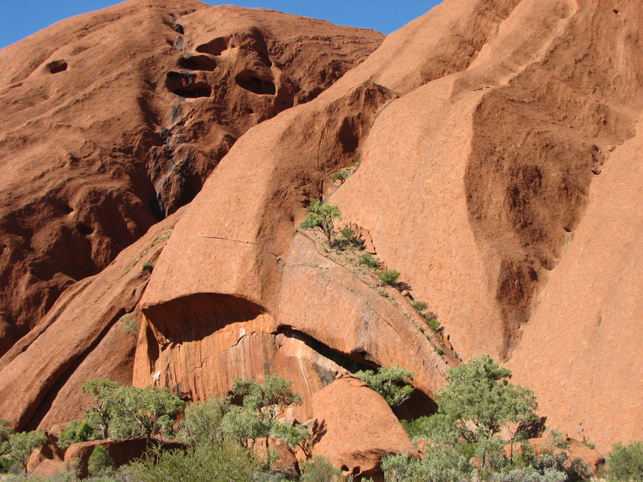
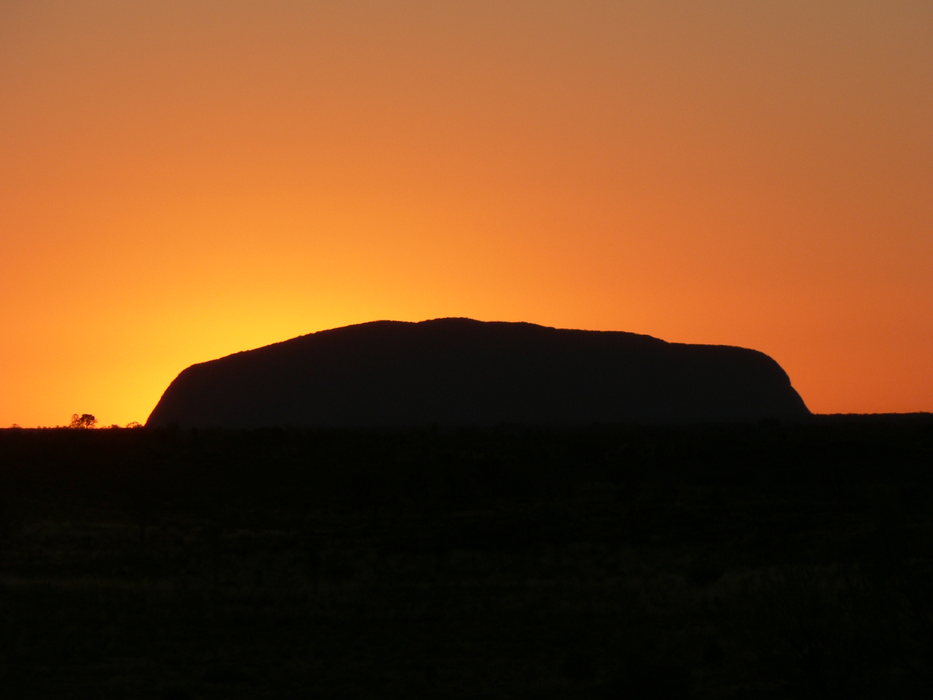
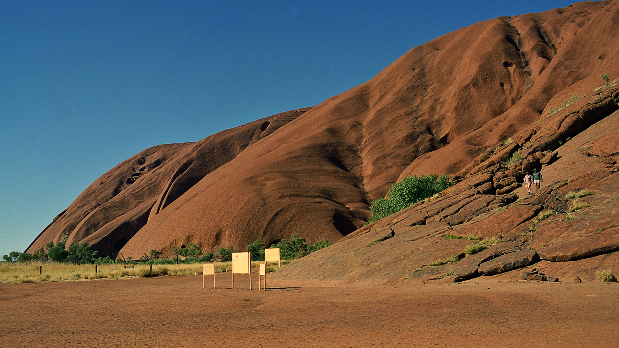
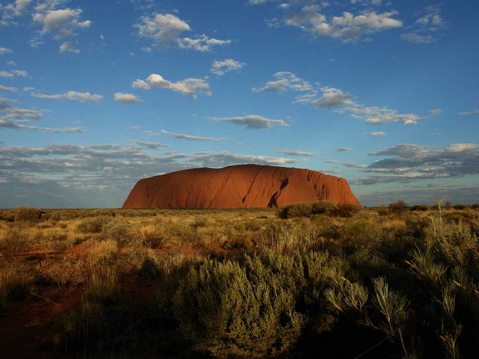
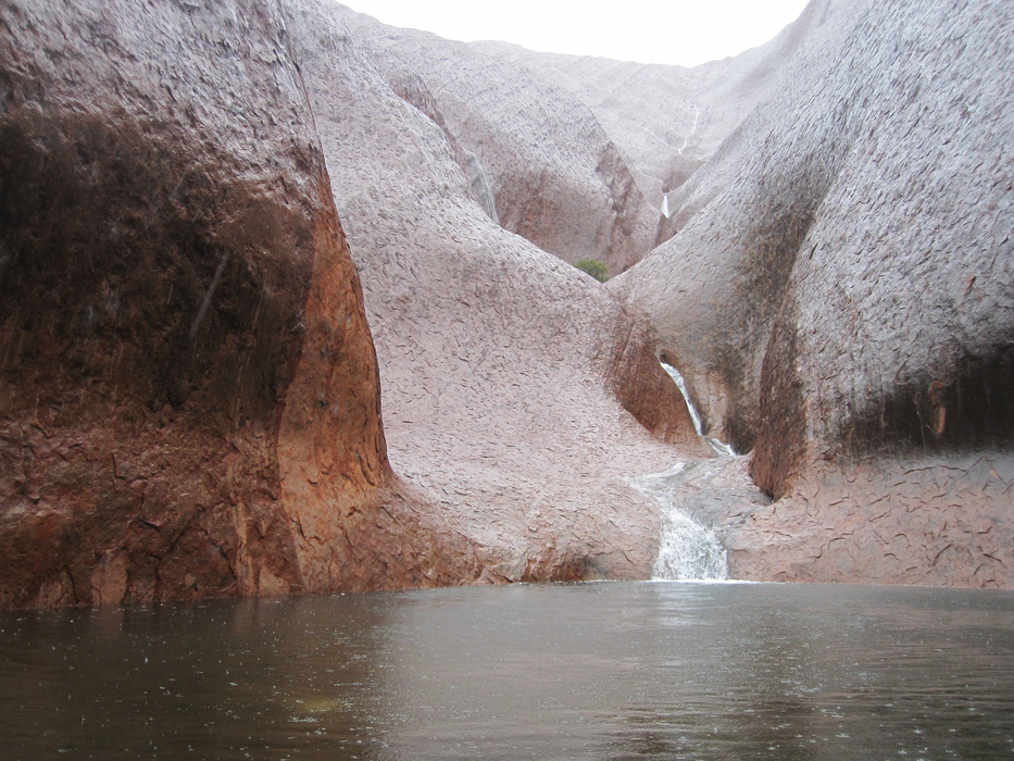
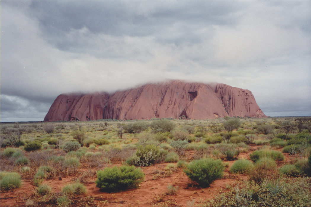
Gallery


Map and nearest places
| Longitude | Latitude |
|---|---|
| -25.2333333333333 | 130.983333333333 |
| 25°13'0"S | 130°58'0"E |
| Nearest places | ||
|---|---|---|
| Ayers Rock Airport | 5.3km | |
| Alice Springs | 332.2km | |
| Alice Springs Airport | 335.2km | |
| Coober Pedy | 561.9km | |
| Coober Pedy Airport | 562.0km | |
| Forrest Airport | 683.8km | |
| Forrest | 692.6km | |
| Tennant Creek | 703.3km | |
| Tennant Creek Airport | 703.7km | |
| Lajamanu | 767.5km | |
| Hooker Creek Airport | 767.7km | |
| Ceduna | 808.8km | |
| John Paul II International Airport | 13,618.0km | |
| Codrington Airport | 18,444.3km | |
Accomodation
Airports
Weblinks
Comments
You need to log in to add comment