


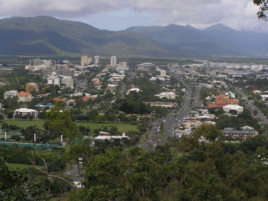


Map and nearest places
| Longitude | Latitude |
|---|---|
| -16.925556 | 145.775278 |
| 16°55'0"S | 145°46'0"E |
| Nearest places | ||
|---|---|---|
| Cairns Airport | 6.2km | |
| Green Island | 28.1km | |
| Walkamin | 43.4km | |
| Port Douglas | 59.2km | |
| Mission Beach | 110.7km | |
| Dunk Island Airport | 119.3km | |
| Bloomfield | 119.6km | |
| Dunk Island | 120.5km | |
| Bloomfield Airport | 126.3km | |
| Cooktown Airport | 176.3km | |
| Palm Island Airport | 220.6km | |
| Lizard Island Airport | 253.6km | |
| John Paul II International Airport | 13,981.3km | |
| Sao Pedro Airport | 19,039.4km | |
Accomodation
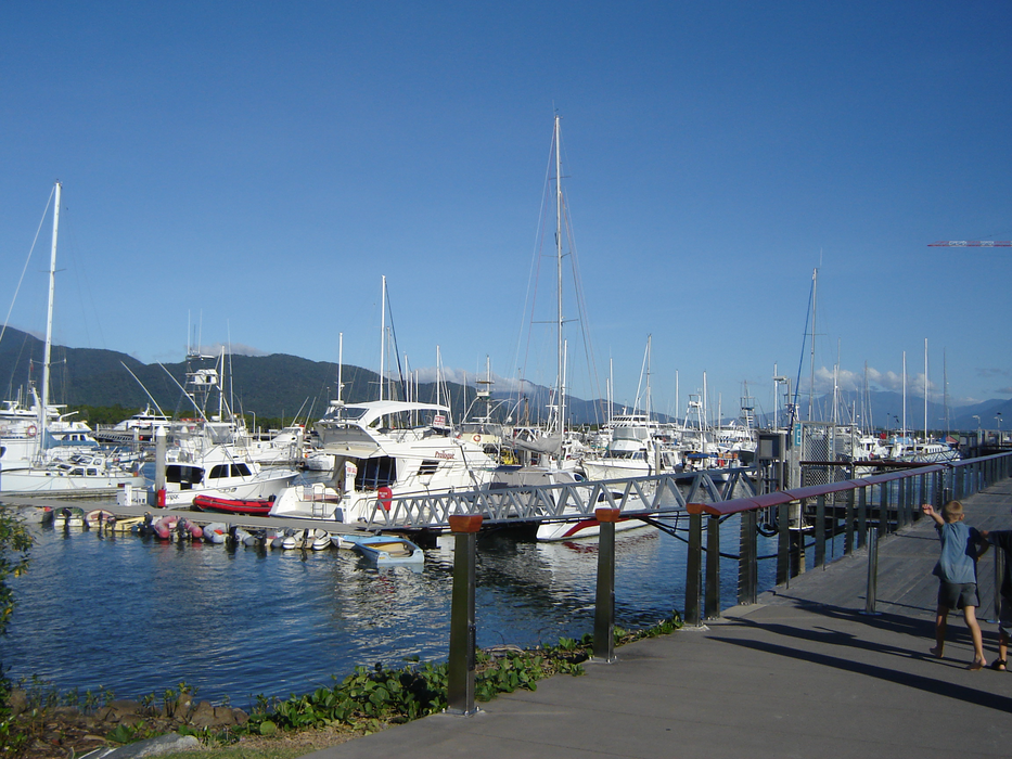
Marinas
Golfs club
Breweries
Airports

Weblinks
Comments
You need to log in to add comment