


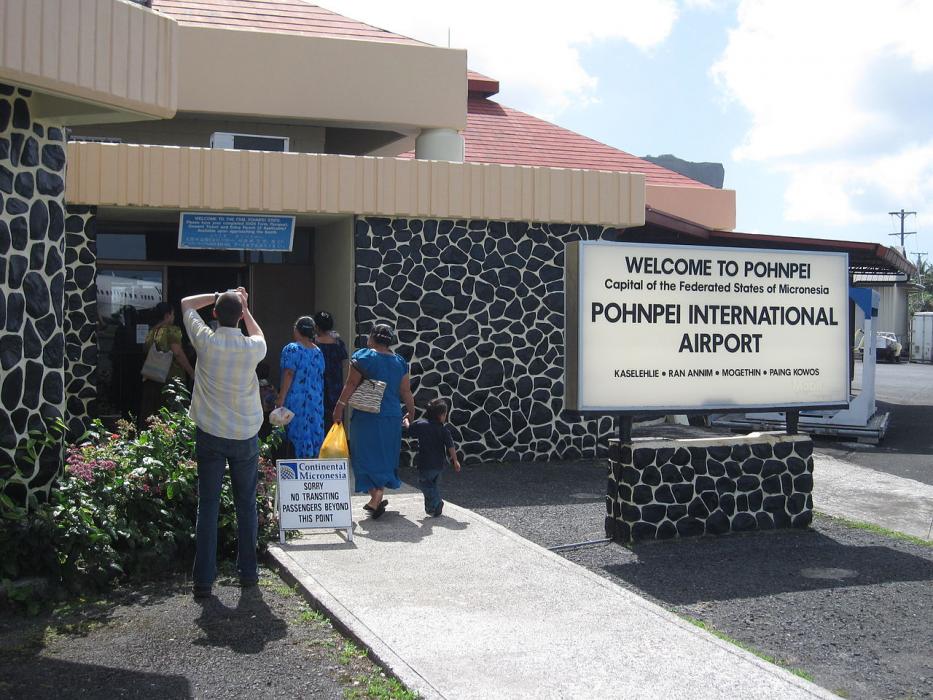
Gallery


Map and nearest places
| Longitude | Latitude |
|---|---|
| 6.985 | 158.208888888889 |
| 6°59'0"N | 158°12'0"E |
| Nearest places | ||
|---|---|---|
| Phonpei | 15.0km | |
| Kosrae Airport | 555.4km | |
| Kosrae | 559.5km | |
| Enewetak Aux AF | 593.1km | |
| Eniwetok | 675.9km | |
| Chuuk International Airport | 704.2km | |
| Chuuk | 710.5km | |
| Kwajalein | 1,048.4km | |
| Freeflight International Airport | 1,054.0km | |
| Roi-Namur | 1,054.5km | |
| Kwajalein Airport | 1,066.5km | |
| Namorik Airport | 1,106.2km | |
| John Paul II International Airport | 12,513.3km | |
| Wideawake Airport | 19,192.2km | |
General informations
| Airport type | Regional airport |
| ICAO | PTPN |
| IATA | PNI |
| Elevation | 10 ft / 3 m MSL |
| Year | Pax |
|---|---|
| 2008 | 36689 |
| 2007 | 38151 |
| 2006 | 37739 |
| 2005 | 38093 |
| 2004 | 38770 |
| 2000 | 58029 |
| 1999 | 44834 |
| 1998 | 45604 |
| 1997 | 50824 |
Weblinks
Comments
You need to log in to add comment