


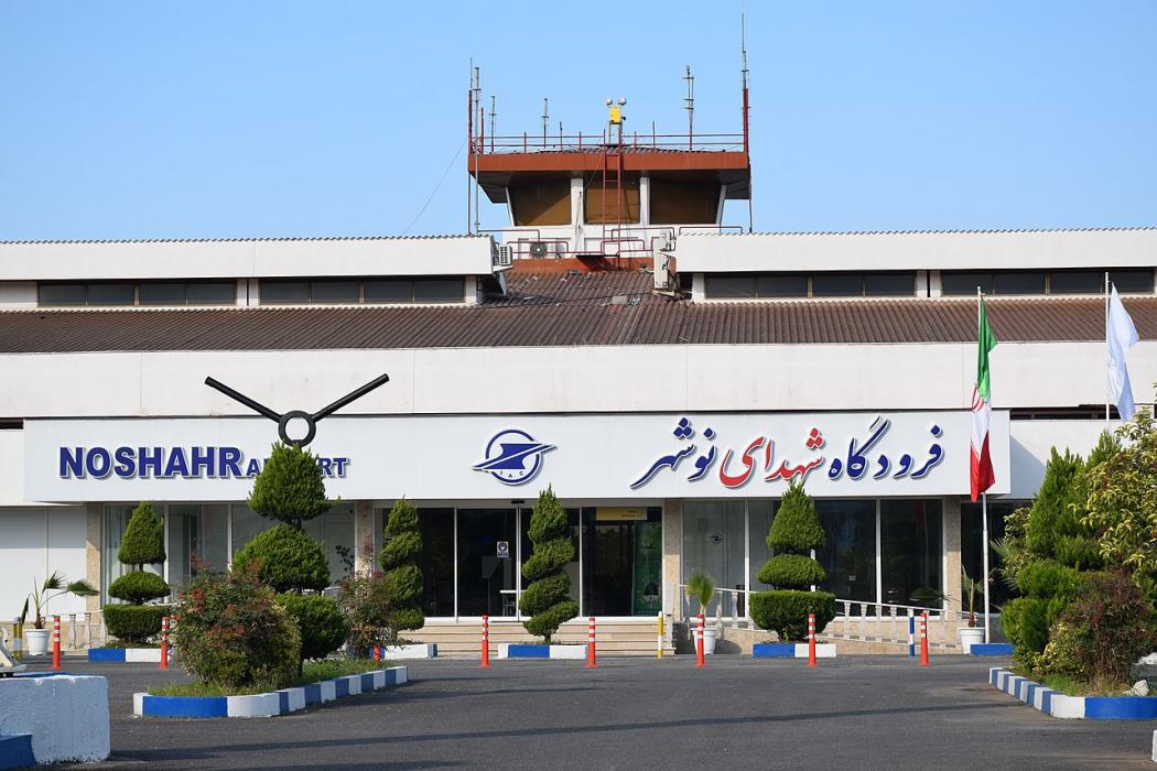
Gallery


Map and nearest places
| Longitude | Latitude |
|---|---|
| 36.6633333333333 | 51.4647222222222 |
| 36°39'0"N | 51°27'0"E |
| Nearest places | ||
|---|---|---|
| Noshahr | 3.2km | |
| Ramsar Airport | 75.1km | |
| Ramsar | 76.6km | |
| Teheran | 107.2km | |
| Teheran Mehrabad International Airport | 109.2km | |
| Tehran Imam Khomeini International Airport | 141.5km | |
| Sari | 142.8km | |
| Dasht-e Naz Airport | 154.3km | |
| Rasht | 180.7km | |
| Rasht Airport | 180.8km | |
| Gorgan Airport | 262.9km | |
| Gorgan | 265.3km | |
| John Paul II International Airport | 2,931.2km | |
| Totegegie Airport | 18,386.9km | |
General informations
| Airport type | Regional airport |
| ICAO | OINN |
| IATA | NSH |
| Elevation | -61 ft / -19 m MSL |
| World Pax Ranking 2017 | #1861(+133) |
| World Pax Ranking 2016 | #1994(-4) |
| World Pax Ranking 2015 | #1990(+58) |
| World Pax Ranking 2014 | #2048(-62) |
| World Pax Ranking 2013 | #1986(-80) |
| World Pax Ranking 2012 | #1906(-72) |
| World Pax Ranking 2011 | #1834 |
| Year | Pax |
|---|---|
| 2017 | 56109 |
| 2016 | 33868 |
| 2015 | 32610 |
| 2014 | 29483 |
| 2013 | 30760 |
| 2012 | 32972 |
| 2011 | 29969 |
| 2009 | 24795 |
Weblinks
Comments
You need to log in to add comment