


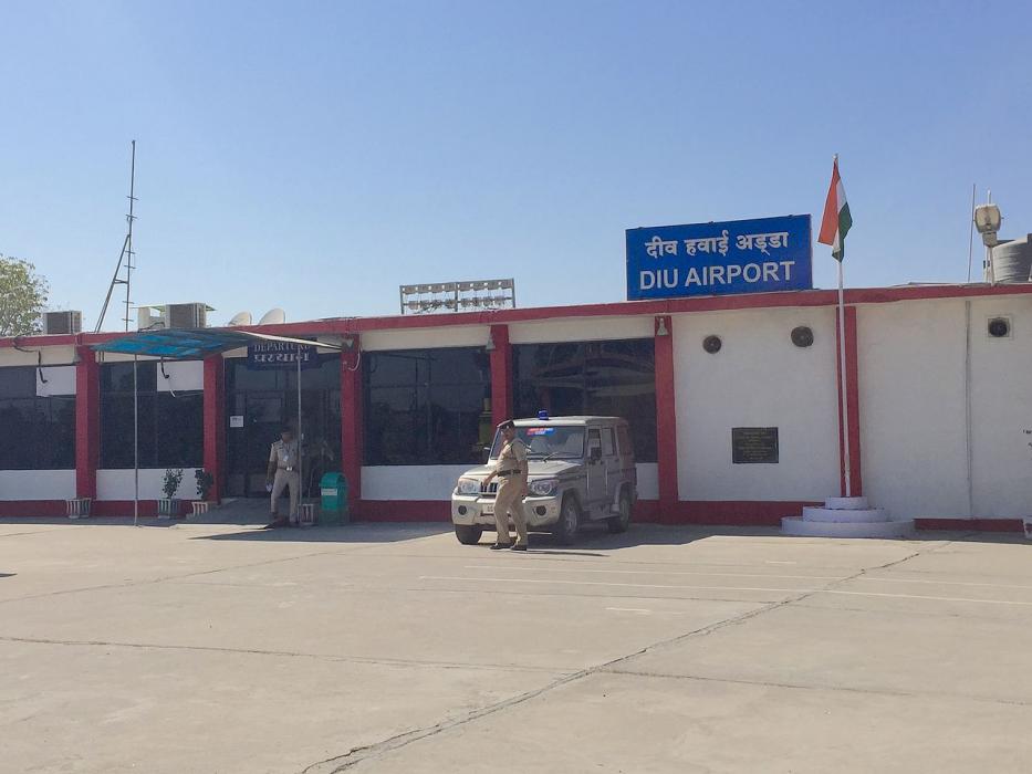
Gallery


Map and nearest places
| Longitude | Latitude |
|---|---|
| 20.713055555555602 | 70.9211111111111 |
| 20°42'0"N | 70°55'0"E |
| Nearest places | ||
|---|---|---|
| Diu | 6.5km | |
| Keshod Airport | 95.3km | |
| Keshod | 95.5km | |
| Porbandar Airport | 167.3km | |
| Porbandar | 169.8km | |
| Bhavnagar | 172.8km | |
| Bhavnagar Airport | 174.7km | |
| Rajkot | 175.1km | |
| Rajkot Airport | 178.1km | |
| Surat Airport | 194.3km | |
| Daman Airport | 202.5km | |
| Daman | 203.4km | |
| John Paul II International Airport | 5,517.1km | |
| Mataveri International Airport | 19,296.9km | |
General informations
| Airport type | Local airport |
| ICAO | VADU |
| IATA | DIU |
| Elevation | 31 ft / 9 m MSL |
| World Pax Ranking 2023 | #1650(+146) |
| World Pax Ranking 2022 | #1796(-7) |
| World Pax Ranking 2021 | #1789(+47) |
| World Pax Ranking 2020 | #1836(+254) |
| World Pax Ranking 2019 | #2090(+5) |
| World Pax Ranking 2018 | #2095(+10) |
| World Pax Ranking 2017 | #2105(-274) |
| World Pax Ranking 2016 | #1831 |
| Year | Pax |
|---|---|
| 2023 | 66252 |
| 2022 | 38047 |
| 2021 | 29453 |
| 2020 | 18781 |
| 2019 | 23956 |
| 2018 | 24533 |
| 2017 | 20000 |
| 2016 | 62000 |
Weblinks
Comments
You need to log in to add comment