


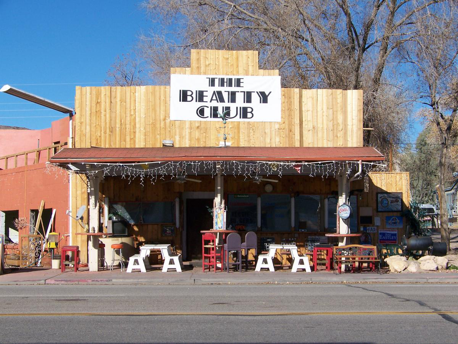
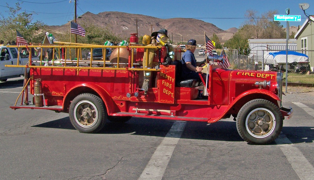
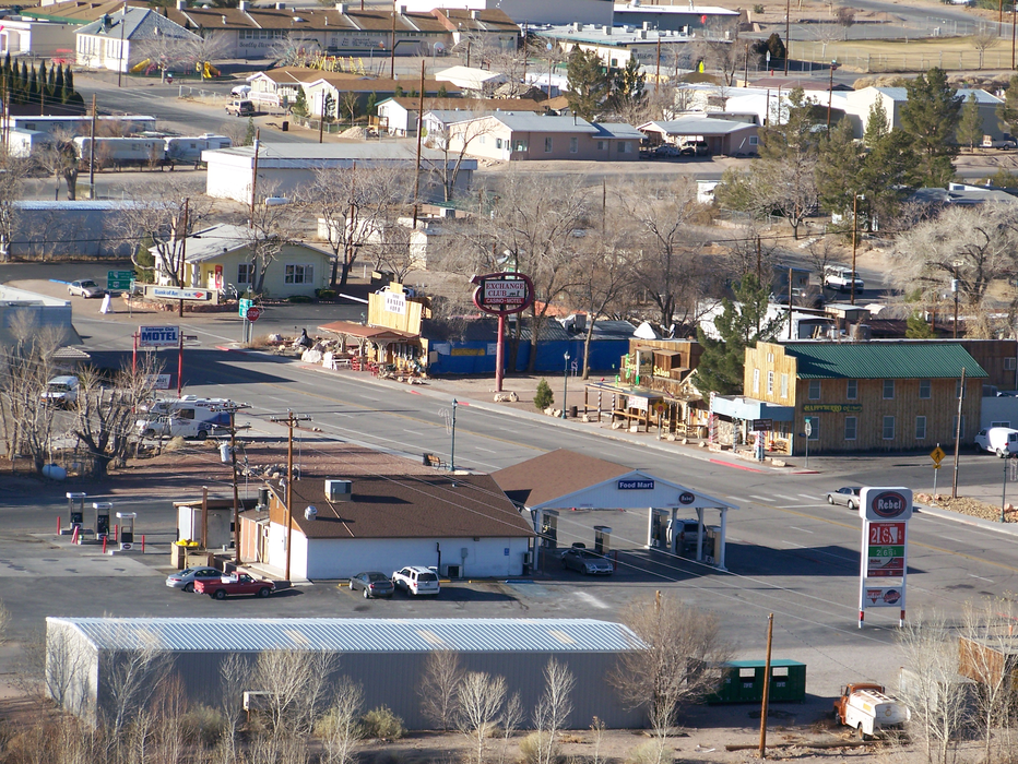
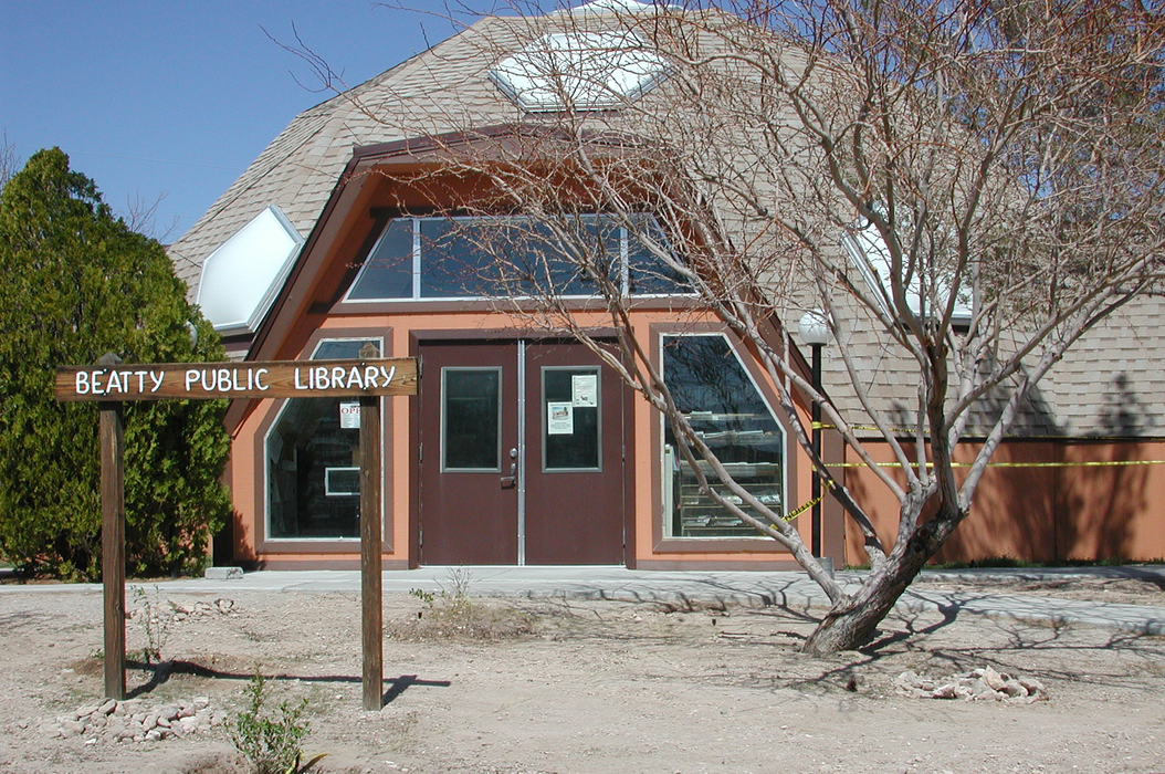
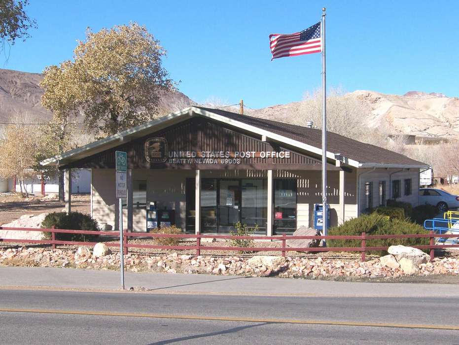
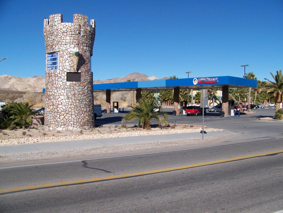
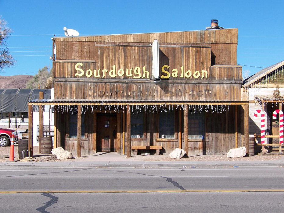
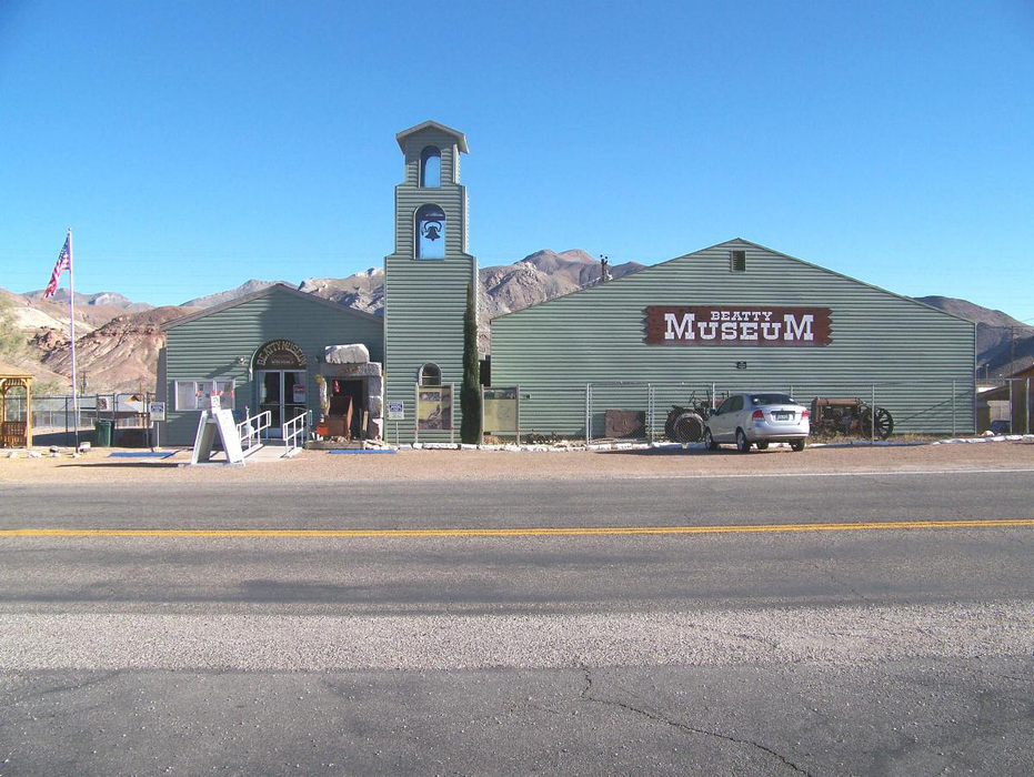
Gallery


Map and nearest places
| Longitude | Latitude |
|---|---|
| 36.909444444444404 | -116.754444444444 |
| 36°54'0"N | 116°45'0"W |
| Nearest places | ||
|---|---|---|
| Beatty Airport | 6.1km | |
| Death Valley National Park | 50.8km | |
| Furnace Creek Airport | 51.1km | |
| Pahrump | 102.3km | |
| Lone Pine Airport | 121.0km | |
| Lone Pine | 121.3km | |
| Independence | 129.2km | |
| Independence Airport | 129.5km | |
| Tonopah Airport | 131.3km | |
| Tonopah | 135.6km | |
| Alamo | 149.8km | |
| Eastern Sierra Regional Airport | 151.7km | |
| John Paul II International Airport | 9,445.4km | |
| Pierrefonds Airport | 18,124.3km | |
Accomodation
Airports
Weblinks
Comments
You need to log in to add comment