


Gallery


Map and nearest places
| Longitude | Latitude |
|---|---|
| -42.9166666666667 | -72.7 |
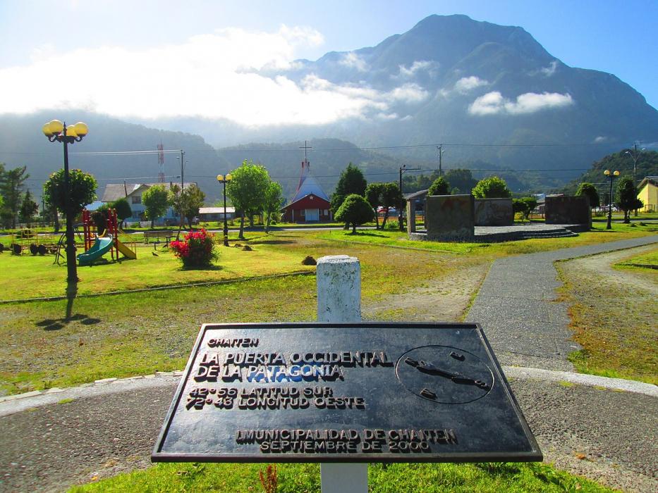
| 42°55'0"S | 72°42'0"W |
| Nearest places | ||
|---|---|---|
| Chaiten Airport | 1.8km | |
 | Futaleufu | 73.9km |
| Futaleufu Airport | 75.4km | |
 | Quellon | 75.6km |
| Quellon Airport | 79.6km | |
| Achao | 81.4km | |
| Tolquien Airport | 85.1km | |
| Castro | 90.6km | |
 | Trevelin | 102.0km |
| Alto Palena Airport | 106.1km | |
| Palena | 106.6km | |
| Rio Negro Airport | 108.1km | |
| John Paul II International Airport | 13,661.5km | |
| Bayannur Tianjitai Airport | 19,790.8km | |
Accomodation
Airports
Weblinks
Comments
You need to log in to add comment