


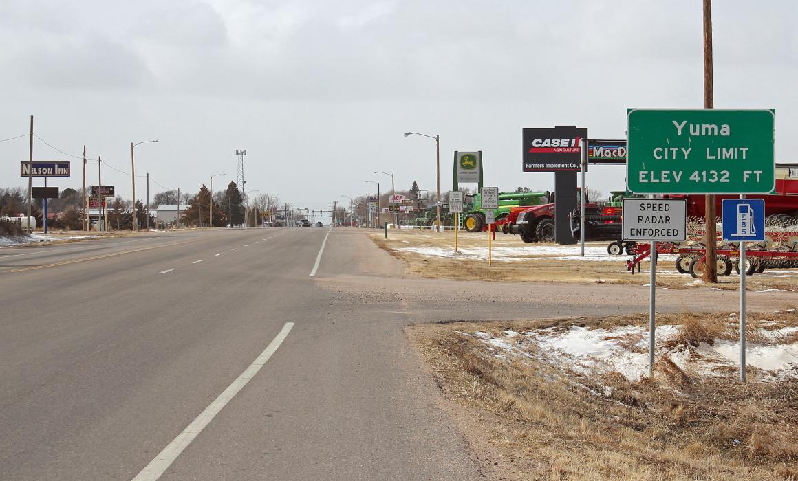
Gallery


Map and nearest places
| Longitude | Latitude |
|---|---|
| 40.12277777777779 | -102.725 |
| 40°7'0"N | 102°43'0"W |
| Nearest places | ||
|---|---|---|
| Yuma Municipal Airport | 2.3km | |
| Wray Municipal Airport | 41.2km | |
| Akron | 41.6km | |
| Colorado Plains Regional Airport | 42.6km | |
| Wray | 42.8km | |
| Haxtun Municipal Airport | 56.8km | |
| Haxtun | 58.3km | |
| Holyoke | 62.4km | |
| Holyoke Airport | 62.7km | |
| Sterling | 69.5km | |
| Brush Municipal Airport | 73.9km | |
| Brush | 78.2km | |
| John Paul II International Airport | 8,525.8km | |
| Sir Gaëtan Duval Airport | 17,391.1km | |
Accomodation
Restaurants
Airports
Weblinks
Comments
On 01-03-2020 09:39 Jerzy said:
There are 122.88 miles from Yuma to Denver in southwest direction and 143 miles (230.14 kilometers) by car, following the I-76 W route.Yuma and Denver are 2 hours 12 mins far apart, if you drive non-stop.
You need to log in to add comment
There are 122.88 miles from Yuma to Denver in southwest direction and 143 miles (230.14 kilometers) by car, following the I-76 W route.Yuma and Denver are 2 hours 12 mins far apart, if you drive non-stop.
You need to log in to add comment