


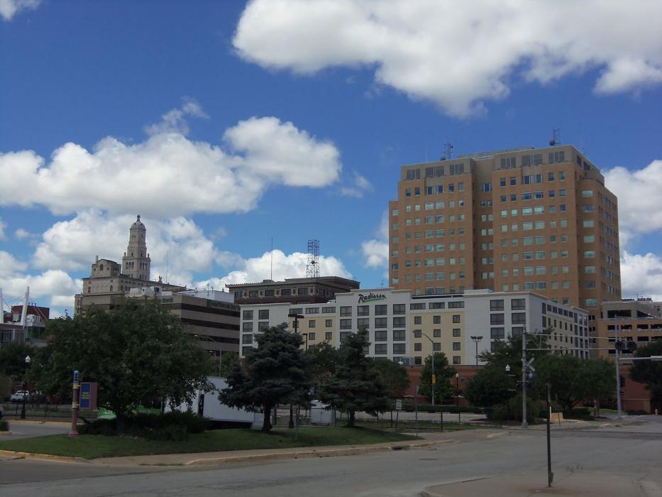


Map and nearest places
| Longitude | Latitude |
|---|---|
| 41.543056 | -90.590833 |
| 41°32'0"N | 90°35'0"W |
| Nearest places | ||
|---|---|---|
| Davenport Municipal Airport | 8.5km | |
| Moline | 9.9km | |
| Quad City International Airport | 12.6km | |
| LeClaire | 20.4km | |
| Rusk County Airport | 34.5km | |
| Muscatine | 41.0km | |
| Muscatine Municipal Airport | 50.4km | |
| Galesburg | 68.3km | |
| Galesburg Municipal Airport | 68.6km | |
| Iowa City | 78.7km | |
| Whiteside County Airport-Jos H Bittorf Field | 79.2km | |
| Sterling | 79.7km | |
| John Paul II International Airport | 7,788.0km | |
| Busselton Regional Airport | 17,577.1km | |
Accomodation
Restaurants
Museums
Golfs club
Wineries
Spirits Distillery
Breweries
Airports
Weblinks
Comments
On 08-06-2021 19:47 Jerzy said:
There are 156.80 miles from Davenport to Des Moines in west direction and 168 miles (270.37 kilometers) by car, following the I-80 route.
You need to log in to add comment
There are 156.80 miles from Davenport to Des Moines in west direction and 168 miles (270.37 kilometers) by car, following the I-80 route.
You need to log in to add comment